
Roc des Hourtous
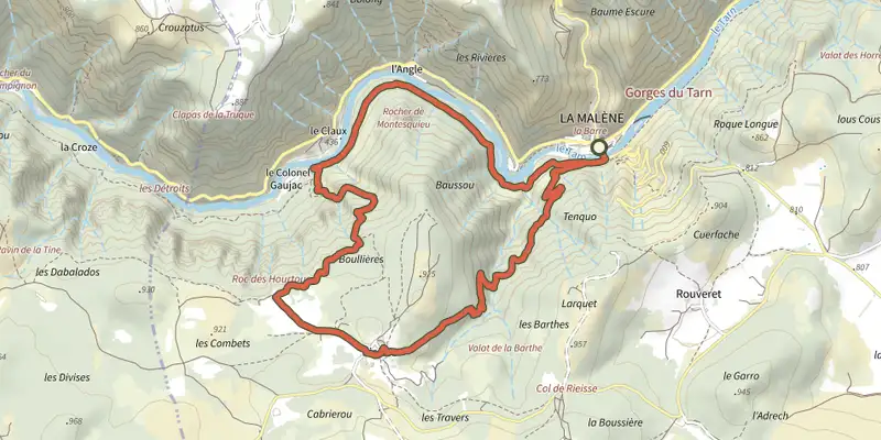
Key facts
- Distance
- 9.6 km
- Ascent
- +568 m
- Descent
- −489 m
- Estimated time
- 3 hr 10
- hiking
- Difficulty
- Difficult
- official rating
- Route
- Loop
- back to the start
Profile and gradient
- under 10%
- 10 to 20%
- over 20%
Gradient along the route: 6.0 km under 10%, 1.9 km at 10 to 20% and 1.7 km over 20%. Elevation from 450 m to 919 m over 9.6 km.
Description
This physically challenging loop leads from the banks of the river Tarn to the Causse Méjean plateau, and offers gorgeous panoramic views onto the Tarn Gorges and the Causse de Sauveterre. From the carpark in La Malène, cross the river Tarn and take the path on the right after the bridge. Take the first footpath on the left (after 300 m) and climb onto the Causse Méjean plateau. Go through Rieisse and, on leaving the hamlet, continue straight ahead towards the Roc des Hourtous. At the panoramic viewpoint of Les Hourtous, walk past the snack bar on its right to take a path that runs parallel to the ridge for 800 m. Then take the path downhill on the left to join up with the path overlooking the Tarn. Turn right onto it to return to the starting-point.
Difficulty
Official rating: difficult, by Parc national des Cévennes.
Before you go
- Make sure your equipment is appropriate for the day's weather conditions. Remember that the weather changes quickly in the mountains. Take enough water, wear good shoes and put on a hat. Please close all gates and barriers after yourself.
Getting there
Start: La Malène, La Malène (48).
Sources
- Track: Parc national des Cévennes, Licence Ouverte 1.0, Licence Ouverte 1.0 (Etalab) (destination.cevennes-parcnational.fr/trek/39630-Le-roc-des-Hourtous). Time estimated by GPX Path with the Mac app rule, breaks not included.
- Official elevation gain: 568 m, Parc national des Cévennes
Nearby tracks
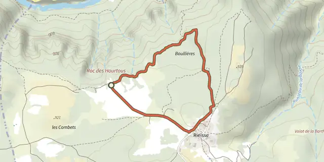
 Plan IGN © IGN 2026Birds of the Causses and GorgesCévennes, La Malène (48) · LoopOfficial rating by Parc national des Cévennes
 Plan IGN © IGN 2026Roc de La TruqueCévennes, La Malène (48) · LoopOfficial rating by Parc national des Cévennes
 Plan IGN © IGN 2026cirque de Saint-Chély-du-TarnCévennes, Gorges du Tarn Causses (48) · LoopOfficial rating by Parc national des Cévennes
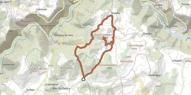 Plan IGN © IGN 2026Puech d'AlluechCévennes, Mas-Saint-Chély (48) · LoopOfficial rating by Parc national des Cévennes
 Plan IGN © IGN 2026Baousse del BielCévennes, Massegros Causses Gorges (48) · LoopOfficial rating by Parc national des Cévennes
 Plan IGN © IGN 2026The arches of Saint-PierreCévennes, Saint-Pierre-des-Tripiers (48) · LoopOfficial rating by Parc national des Cévennes