
La salindrenque
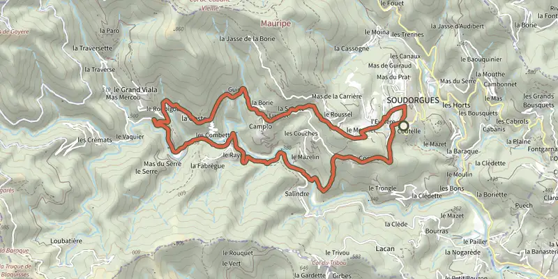
Key facts
- Distance
- 9.5 km
- Ascent
- +351 m
- Descent
- −266 m
- Estimated time
- 2 hr 40
- hiking
- Difficulty
- Easy
- official rating
- Route
- Loop
- back to the start
Profile and gradient
- under 10%
- 10 to 20%
- over 20%
Gradient along the route: 8.6 km under 10%, 0.7 km at 10 to 20% and 0.2 km over 20%. Elevation from 365 m to 572 m over 9.5 km.
Surface and path types
- Surface
- Paved 81%
- Dirt & gravel 19%
- Path types
- Trail 19%
- Road 81%
Description
Soudorgues is nestled at an altitude of 450 meters, and water is everywhere! Have you noticed all those irrigation channels, called "béals", that carry water to the "gourgues" (the basin)? Here is a wonderful introduction to the Cévennes world, revealing the upper valley of the Salindrenque, the main tributary of the Gardon de Saint-Jean. Here, water has always been, and still remains today, a major factor in human, social, and craft activity. Every step evokes this history, shaped by culture, habitation, and the tamed natural environment. Along the route, directional posts and yellow paint markings will guide you. Place names and/or directions are indicated in bold italics and quotation marks in the description below: From the parking area "Soudorgue", follow the signs for "La Pierre Plantée" via - "Mairie de Soudorgue", - "Les quatre Chemins". - At "La Pierre Plantée", follow the direction to - "Vignes Longues". Then turn left toward “Soudorgues” via “Mairie de Soudorgues” (1).
Difficulty
Official rating: easy, by Parc national des Cévennes.
Before you go
- Before setting out on a trail, check that it is suitable for your activity and skill level. Remember that mountain weather can change quickly. Be sure to bring plenty of water. Close all gates and fences securely. Avoid crossing rivers during rain or periods of high water.
Getting there
Start: Soudorgues (entrée du village, avant la mairie, à droite, Soudorgues (30).
Sources
- Track: Parc national des Cévennes, Licence Ouverte 1.0, Licence Ouverte 1.0 (Etalab) (destination.cevennes-parcnational.fr/trek/98862-La-Salindrenque). Time estimated by GPX Path with the Mac app rule, breaks not included.
- Surface and path types: © OpenStreetMap contributors, ODbL, extract of 28 October 2026, matched to the track every 10 m (openstreetmap.org/copyright)
- Official elevation gain: 351 m, Parc national des Cévennes
Nearby tracks
 Plan IGN © IGN 2026Le BriontetCévennes, Soudorgues (30) · LoopOfficial rating by Parc national des Cévennes
 Plan IGN © IGN 2026Le MauripeCévennes, Soudorgues (30) · LoopOfficial rating by Parc national des Cévennes
 Plan IGN © IGN 2026From the Camisards to the ResistanceCévennes, Lasalle (30) · LoopOfficial rating by Parc national des Cévennes
 Plan IGN © IGN 2026Mont Brion : from watchtowers to fordsCévennes, Sainte-Croix-de-Caderle (30) · LoopOfficial rating by Parc national des Cévennes
 Plan IGN © IGN 2026Valescure pathCévennes, Peyrolles-en-Cévennes (30) · LoopOfficial rating by Parc national des Cévennes
 Plan IGN © IGN 2026Le chemin des FileusesCévennes, Colognac (30) · LoopOfficial rating by Parc national des Cévennes