
La montée du Causse par Dargilan

Key facts
- Distance
- 22.2 km
- Ascent
- +512 m
- Descent
- −429 m
- Estimated time
- 1 hr 35
- road cycling
- Difficulty
- Moderate
- official rating
- Route
- Loop
- back to the start
Profile and gradient
- under 10%
- 10 to 20%
- over 20%
Gradient along the route: 21.7 km under 10% and 0.5 km at 10 to 20%. Elevation from 718 m to 1,018 m over 22.2 km.
Description
A lovely little climb overlooking the Jonte gorge ! On the Causse Noir plateau, a rolling limestone landscape opens up, before you bike downhill to the foothills of Mont Aigoual. Small narrow lanes through varied landscapes. Lanuéjols is an ideal spot for a rest before you take to the road again to return to Meyrueis. From Meyrueis, take the D584 towards Sérigas / Dargilan. - Head for Lanuéjols on the D47c and D47a (there-and-back to Lanuéjols). - Return to Meyrueis on the D47 and D986.
Difficulty
Official rating: moderate, by Parc national des Cévennes.
Before you go
- Before committing yourself to a circuit, ensure that it is suitable for your activity level and ability. Respect traffic laws and other road users; stay in control of your speed and trajectory. Make sure to be seen and travel in single file when in a group. Remember that the weather changes quickly in the mountains. Take enough water. Safe trip !
Getting there
Start: Lanuéjols, Lanuéjols (30).
Sources
- Track: Parc national des Cévennes, Licence Ouverte 1.0, Licence Ouverte 1.0 (Etalab) (destination.cevennes-parcnational.fr/trek/95058-La-montee-du-Causse-par-Dargilan). Time estimated by GPX Path with the Mac app rule, breaks not included.
- Official elevation gain: 512 m, Parc national des Cévennes
Nearby tracks

 Plan IGN © IGN 2026Incursion sur le MéjeanCévennes, Meyrueis (48) · LoopOfficial rating by Parc national des Cévennes
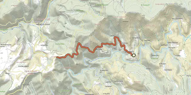 Plan IGN © IGN 2026Road bike circuit #3Cévennes, Dourbies (30) · Out and backOfficial rating by Parc national des Cévennes
 Plan IGN © IGN 2026Col SalidèsCévennes, Val-d'Aigoual (30) · LoopOfficial rating by Parc national des Cévennes
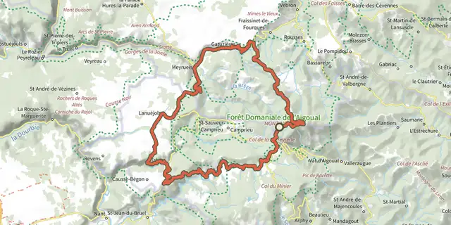 Plan IGN © IGN 2026Station Prat-Peyrot - Road bike circuit #10Cévennes, Meyrueis (48) · LoopOfficial rating by Parc national des Cévennes
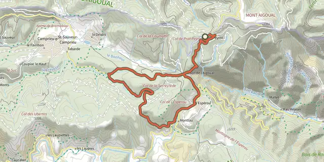 Plan IGN © IGN 2026La boucle découverte du col de FaubelCévennes, Val-d'Aigoual (30) · LoopOfficial rating by Parc national des Cévennes
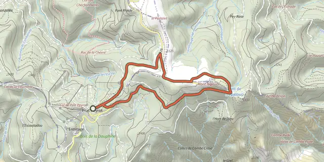 Plan IGN © IGN 2026Ascension du mont Aigoual par la voie de découverteCévennes, Val-d'Aigoual (30) · LoopOfficial rating by Parc national des Cévennes