
Between Gard and Lozère

Key facts
- Distance
- 35.2 km
- Ascent
- +942 m
- Descent
- −596 m
- Estimated time
- 2 hr 20
- road cycling
- Difficulty
- Moderate
- official rating
- Route
- Loop
- back to the start
Profile and gradient
- under 10%
- 10 to 20%
- over 20%
Gradient along the route: 35.2 km under 10%. Elevation from 333 m to 850 m over 35.2 km.
Surface and path types
- Surface
- Paved 100%
- Path types
- Road 100%
Description
This circuit goes through the Borgne valley and on the Corniche des Cévennes road. It has panoramic viewpoints and meanders on the valley bottom along the Gardon de St-Jean river. How satisfying, on arriving at Le Pompidou, to have a view over the entire Vallée Française and even further ! On this legendary road, Le Pompidou and St-Roman de Tousque have been rest stops for travellers since the days of long journeys in horse-drawn carriages. From St-André de Valborgne, towards Le Pompidou on the D10 and D61. - Descend to the valley floor towards Saumane, turn left and climb to St-Roman de Tousque via the D39. - In St-Roman de Tousque, take the D9 ( Corniche des Cévennes road) to Le Pompidou. - At Le Pompidou, descend via the D10 to St-André de Valborgne.
Difficulty
Official rating: moderate, by Parc national des Cévennes.
Before you go
- Before committing yourself to a circuit, ensure that it is suitable for your activity level and ability. Respect traffic laws and other road users; stay in control of your speed and trajectory. Make sure to be seen and travel in single file when in a group. Remember that the weather changes quickly in the mountains. Take enough water. Safe trip !
Getting there
Start: St-André de Valborgne, Saint-André-de-Valborgne (30).
Sources
- Track: Parc national des Cévennes, Licence Ouverte 1.0, Licence Ouverte 1.0 (Etalab) (destination.cevennes-parcnational.fr/trek/95056-Entre-Gard-et-Lozere). Time estimated by GPX Path with the Mac app rule, breaks not included.
- Surface and path types: © OpenStreetMap contributors, ODbL, extract of 28 October 2026, matched to the track every 10 m (openstreetmap.org/copyright)
- Official elevation gain: 942 m, Parc national des Cévennes
Nearby tracks

 Plan IGN © IGN 2026La haute vallée Borgne - Escapades à véloCévennes, Saint-André-de-Valborgne (30) · LoopOfficial rating by Parc national des Cévennes
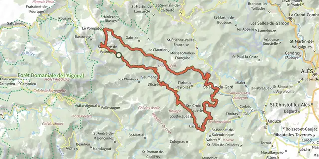 Plan IGN © IGN 2026the Cévennes ridgeCévennes, Saint-André-de-Valborgne (30) · LoopOfficial rating by Parc national des Cévennes
 Plan IGN © IGN 2026Vallée borgne et massif de l’AigoualCévennes, Sainte-Croix-Vallée-Française (48) · LoopOfficial rating by Parc national des Cévennes
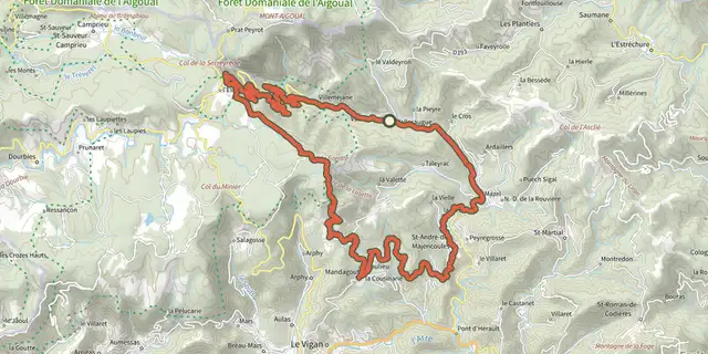 Plan IGN © IGN 2026Valleraugue - Road bike circuit #7Cévennes, Val-d'Aigoual (30) · LoopOfficial rating by Parc national des Cévennes
 Plan IGN © IGN 2026The sources of the BorgneCévennes, Val-d'Aigoual (30) · LoopOfficial rating by Parc national des Cévennes
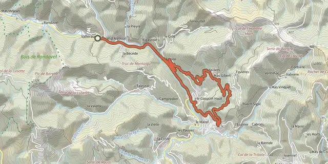 Plan IGN © IGN 2026La boucle d'ArdaillersCévennes, Val-d'Aigoual (30) · LoopOfficial rating by Parc national des Cévennes