
Across the Massif Central by mountain-bike

Key facts
- Distance
- 197 km
- Ascent
- +5,771 m
- Descent
- −5,128 m
- Estimated time
- 22 hr 55
- mtb
- Difficulty
- Difficult
- official rating
- Route
- Point to point
- ends elsewhere
Profile and gradient
- under 10%
- 10 to 20%
- over 20%
Gradient along the route: 181 km under 10% and 16.0 km at 10 to 20%. Elevation from 225 m to 1,563 m over 197 km.
Surface and path types
- Surface
- Paved 34%
- Dirt & gravel 64%
- Unknown 2%
- Path types
- Trail 21%
- Track 46%
- Road 33%
Description
The trail has a total length of 1,390 km stretching from the Morvan to the Mediterranean! It crosses a wide palette of scenery, geology and heritage that you can discover at your own rhythm by mountain-bike or electrically assisted mountain-bike, with friends or family. You will cross breath-taking scenery, from the granite uplands of the Mont Lozère to the majestic forests of the Aigoual massif via the vast limestone plateau of the Causse Méjean, which is cut through by the spectacular Tarn and Jonte gorges ! Discover the fauna and flora of these mountain ranges and meet the men and women who live there. Only the section of the trail which crosses the territory of the Cévennes National Park is described here, from Bagnols-les-Bains to Le Vigan. The suggested route can be covered in five stages: 1 - Bagnols-les-Bains/Pont-de-Montvert-Sud-Mont-Lozère, 2 - Pont-de-Montvert-Sud-Mont-Lozère/Sainte-Enimie: (1) on electrically assisted MTB, take the road towards Grizac, (2) at the activity centre, cross the Tarn and head to Sainte-Enimie on the road, 3 - Sainte-Enimie/L’Hom: (3) for a technical section on the way to St-Chély du Tarn, you can climb to the Col de Coperlac pass from Sainte-Enimie on the RD 986 road, 4 - L’Hom/l’Espérou, 5 - l’Espérou/Le Vigan. You can find the whole route on the website: www.la-gtmc.com
Difficulty
Official rating: difficult, by Parc national des Cévennes.
Before you go
- Make sure your equipment is appropriate for several days of hiking as well as the day’s weather conditions. Remember that the weather changes quickly in the mountains. Take enough water, wear sturdy shoes and put on a hat. Please close all gates and barriers behind you. Slow down in farms and hamlets. Be careful around livestock.
Getting there
Start: Bagnols-les-Bains, Mont Lozère et Goulet (48).
Sources
- Track: Parc national des Cévennes, Licence Ouverte 1.0, Licence Ouverte 1.0 (Etalab) (destination.cevennes-parcnational.fr/trek/41480-Grande-Traversee-du-Massif-Central-a-VTT). Time estimated by GPX Path with the Mac app rule, breaks not included.
- Surface and path types: © OpenStreetMap contributors, ODbL, extract of 28 October 2026, matched to the track every 10 m (openstreetmap.org/copyright)
- Official elevation gain: 5,771 m, Parc national des Cévennes
Nearby tracks
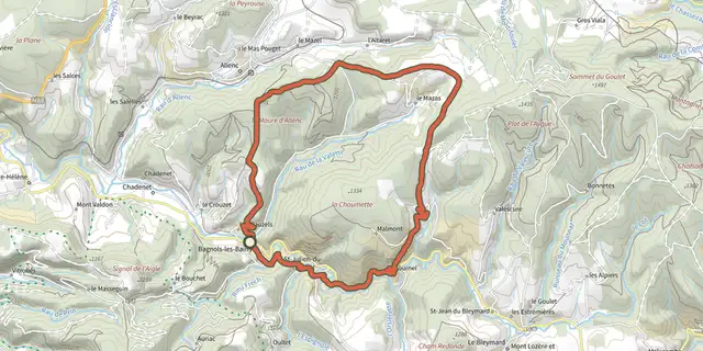
 Plan IGN © IGN 2026Château du Tournel - VTT N°23Cévennes, Mont Lozère et Goulet (48) · LoopOfficial rating by Parc national des Cévennes
 Plan IGN © IGN 2026Col de la Loubière - VTT N°22Cévennes, Mont Lozère et Goulet (48) · LoopOfficial rating by Parc national des Cévennes
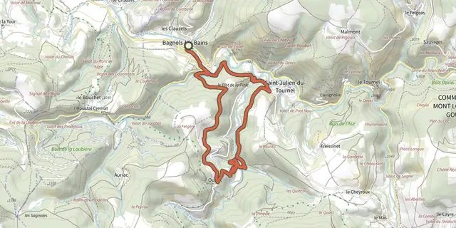 Plan IGN © IGN 2026Oultet - VTT n°21Cévennes, Mont Lozère et Goulet (48) · LoopOfficial rating by Parc national des Cévennes
 Plan IGN © IGN 2026Sources du Lot - VTT n°18Cévennes, Mont Lozère et Goulet (48) · LoopOfficial rating by Parc national des Cévennes
 Plan IGN © IGN 2026Cham Redonde - VTT n°17Cévennes, Mont Lozère et Goulet (48) · LoopOfficial rating by Parc national des Cévennes
 Plan IGN © IGN 2026Serviès - VTT n°19Cévennes, Mont Lozère et Goulet (48) · LoopOfficial rating by Parc national des Cévennes