
Hiking GPX tracks in Brittany (page 30)
717 GPX tracks in Brittany, with distance, elevation gain and time for each track. Filter by department, sport, distance, elevation gain and time.
All GPX tracks in Brittany


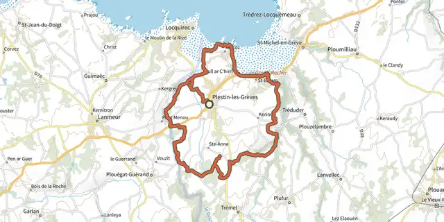
 Plan IGN © IGN 2026Tro PlistinBrittany, Plestin-les-Grèves (22) · Loop
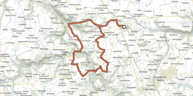 Plan IGN © IGN 2026Tro Run Ar GanBrittany, Runan (22) · LoopOfficial rating by Département des Côtes d'Armor
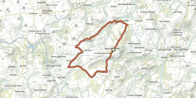 Plan IGN © IGN 2026Tro Saint-HouarneauBrittany, Bourbriac (22) · Loop
 Plan IGN © IGN 2026 · track © OpenStreetMapTro Sant SevBrittany, Sainte-Sève (29) · Loop
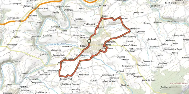 Plan IGN © IGN 2026 · track © OpenStreetMapTro Speied : le bocageBrittany, Spézet (29) · Loop
 Plan IGN © IGN 2026 · track © OpenStreetMapTro Speied : le canalBrittany, Spézet (29) · Loop
 Plan IGN © IGN 2026 · track © OpenStreetMapTro ster pont mineBrittany, Châteauneuf-du-Faou (29) · Loop
 Plan IGN © IGN 2026 · track © OpenStreetMapVallée de la Noë-JollysBrittany, Martigné-Ferchaud (35) · Loop
 Plan IGN © IGN 2026Vallée du DonantBrittany, Bégard (22) · Loop
 Plan IGN © IGN 2026Vallon du Stang Alar - Vallée du CostourBrittany, Guipavas (29) · Loop
 Plan IGN © IGN 2026Variante Mon Tro Breizh - LiscornoBrittany, Goudelin (22) · Point to point
 Plan IGN © IGN 2026Variante Moyenne BoucleBrittany, Férel (56) · Loop
 Plan IGN © IGN 2026Variante Petite BoucleBrittany, Férel (56) · Loop
 Plan IGN © IGN 2026 · track © OpenStreetMapVers la Ria d'ÉtelBrittany, Plouhinec (56) · Loop
 Plan IGN © IGN 2026Versant Est de la presqu'îleBrittany, Plévenon (22) · LoopOfficial rating by Département des Côtes d'Armor
 Plan IGN © IGN 2026Vieille RocheBrittany, Camoël (56) · Point to point
 Plan IGN © IGN 2026 · track © OpenStreetMapVieux-Vy-sur-Couesnon - les carrièresBrittany, Vieux-Vy-sur-Couesnon (35) · Loop
 Plan IGN © IGN 2026Vildé-Guingalan - Circuit des trois villagesBrittany, Vildé-Guingalan (22) · LoopOfficial rating by Département des Côtes d'Armor
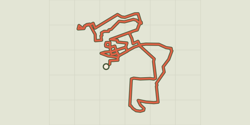 Plan IGN © IGN 2026Sightseeing Tour of VitréBrittany, Vitré (35) · Loop
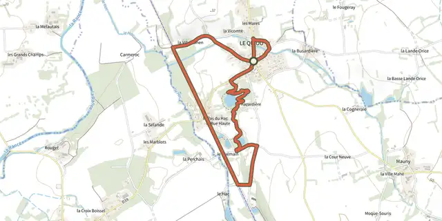 Plan IGN © IGN 2026Voyage nature en Pays des FalunsBrittany, Le Quiou (22) · LoopOfficial rating by Département des Côtes d'Armor
 Plan IGN © IGN 2026 · track © OpenStreetMapVue sur l’océan, Variante par la boucle de PenvinsGulf of Morbihan, Sarzeau (56) · Loop