
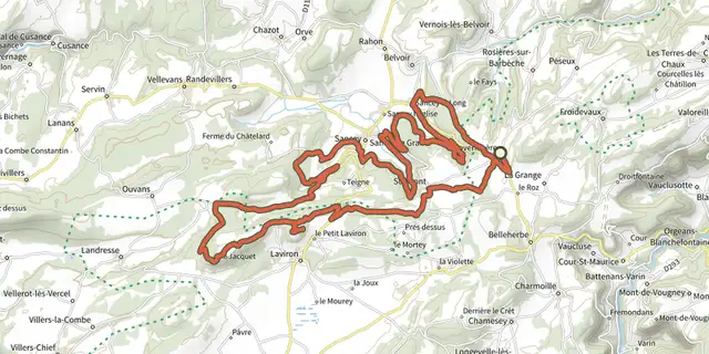
Va te faire Belvoir

Key facts
- Distance
- 30.2 km
- Ascent
- +601 m
- Descent
- −519 m
- Estimated time
- 2 hr 25
- gravel
- Difficulty
- Moderate
- official rating
- Route
- Loop
- back to the start
Official time: 2 h 30 min
Profile and gradient
- under 10%
- 10 to 20%
- over 20%
Gradient along the route: 29.7 km under 10% and 0.5 km at 10 to 20%. Elevation from 442 m to 685 m over 30.2 km.
Surface and path types
- Surface
- Paved 74%
- Dirt & gravel 25%
- Unknown 1%
- Path types
- Track 44%
- Road 56%
Difficulty
Official rating: moderate, by Département du Doubs.
Getting there
Start: Basilique Sainte-Jeanne-Antide, Sancey, Sancey (25).
Sources
- Track: Département du Doubs (explore.doubs.fr), ODbL, ODbL 1.0 (explore.doubs.fr/trek/270-Va-te-faire-Belvoir). Time estimated by GPX Path with the Mac app rule, breaks not included.
- Official time: 2 h 30 min, explore.doubs.fr
- Surface and path types: © OpenStreetMap contributors, ODbL, extract of 28 October 2026, matched to the track every 10 m (openstreetmap.org/copyright)
- Official elevation gain: 601 m, Département du Doubs
Nearby tracks
 Plan IGN © IGN 2026À double SanceyBourgogne-Franche-Comté, Provenchère (25) · LoopOfficial rating by Département du Doubs
 Plan IGN © IGN 2026Le prince de BelleherbeBourgogne-Franche-Comté, Belleherbe (25) · LoopOfficial rating by Département du Doubs
 Plan IGN © IGN 2026Copains cabanaBourgogne-Franche-Comté, Cusance (25) · LoopOfficial rating by Département du Doubs
 Plan IGN © IGN 2026Allumer la MaîcheBourgogne-Franche-Comté, Maîche (25) · LoopOfficial rating by Département du Doubs
 Plan IGN © IGN 2026Sur un plateauBourgogne-Franche-Comté, Maîche (25) · LoopOfficial rating by Département du Doubs
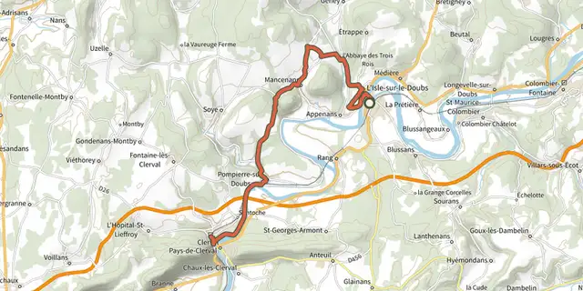 Plan IGN © IGN 2026File-sur-le-DoubsBourgogne-Franche-Comté, L'Isle-sur-le-Doubs (25) · Point to pointOfficial rating by Département du Doubs