
Grands communaux
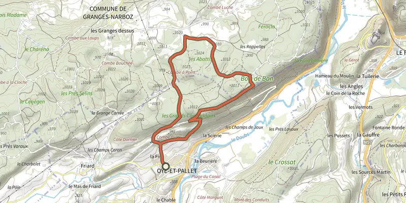
Key facts
- Distance
- 6.6 km
- Ascent
- +191 m
- Descent
- −175 m
- Estimated time
- 1 hr 50
- hiking
- Difficulty
- Moderate
- official rating
- Route
- Loop
- back to the start
Official time: 2 h 30 min
Profile and gradient
- under 10%
- 10 to 20%
- over 20%
Gradient along the route: 5.6 km under 10% and 1.0 km at 10 to 20%. Elevation from 877 m to 1,010 m over 6.6 km.
Difficulty
Official rating: moderate, by Département du Doubs.
Getting there
Start: Mairie d'Oye-et-Pallet, Oye-et-Pallet (25).
Sources
- Track: Département du Doubs (explore.doubs.fr), ODbL, ODbL 1.0 (explore.doubs.fr/trek/243-Grands-communaux). Time estimated by GPX Path with the Mac app rule, breaks not included.
- Official time: 2 h 30 min, explore.doubs.fr
- Official elevation gain: 191 m, Département du Doubs
Nearby tracks

 Plan IGN © IGN 2026Tour du Lac de Saint-PointBourgogne-Franche-Comté, Oye-et-Pallet (25) · LoopOfficial rating by Département du Doubs
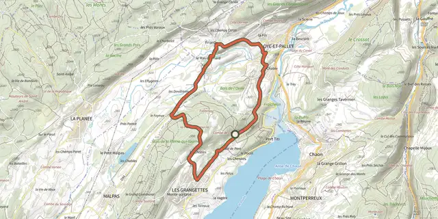 Plan IGN © IGN 2026La Pierre qui tourneBourgogne-Franche-Comté, Les Grangettes (25) · LoopOfficial rating by Département du Doubs
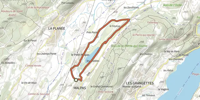 Plan IGN © IGN 2026Tour du Lac de MalpasBourgogne-Franche-Comté, Malpas (25) · LoopOfficial rating by Département du Doubs
 Plan IGN © IGN 2026Les Granges DessusBourgogne-Franche-Comté, Pontarlier (25) · LoopOfficial rating by Département du Doubs
 Plan IGN © IGN 2026Les Granges Dessus (Variante)Bourgogne-Franche-Comté, Pontarlier (25) · LoopOfficial rating by Département du Doubs
 Plan IGN © IGN 2026Ronde des 2 VillagesBourgogne-Franche-Comté, Saint-Point-Lac (25) · LoopOfficial rating by Département du Doubs