
Traces GPX de randonnée dans les Vosges (page 9)
548 traces GPX dans les Vosges, avec distance, dénivelé et durée pour chaque trace. Filtrez par département, sport, distance, dénivelé et durée.
Toutes les traces GPX dans les Vosges


 Plan IGN © IGN 2026 · tracé © OpenStreetMapCircuit du FalkensteinVosges, Philippsbourg (57) · Traversée
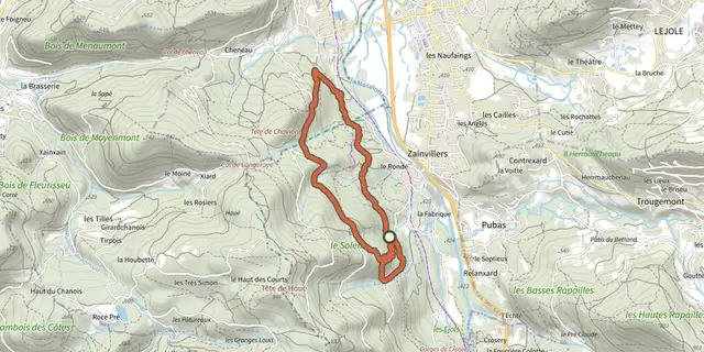 Plan IGN © IGN 2026 · tracé © OpenStreetMapCircuit du Fond du SolemVosges, Vagney (88) · Boucle
 Plan IGN © IGN 2026 · tracé © OpenStreetMapCircuit du fort du ParmontVosges, Remiremont (88) · Boucle
 Plan IGN © IGN 2026 · tracé © OpenStreetMapCircuit du FrenzVosges, Fellering (68) · Boucle
 Plan IGN © IGN 2026 · tracé © OpenStreetMapCircuit du FrohnbergVosges, Saint-Jean-Saverne (67) · Boucle
 Plan IGN © IGN 2026 · tracé © OpenStreetMapCircuit du FroschkopfVosges, La Petite-Pierre (67) · Boucle
 Plan IGN © IGN 2026 · tracé © OpenStreetMapCircuit du Gazon du FaingVosges, Soultzeren (68) · Boucle
 Plan IGN © IGN 2026 · tracé © OpenStreetMapCircuit du GerstackerVosges, Goldbach-Altenbach (68) · Boucle
 Plan IGN © IGN 2026 · tracé © OpenStreetMapCircuit du Grand JumeauVosges, Nompatelize (88) · Boucle
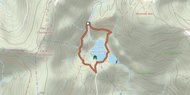 Plan IGN © IGN 2026 · tracé © OpenStreetMapCircuit du Grand NeuweiherVosges, Rimbach-près-Masevaux (68) · Boucle
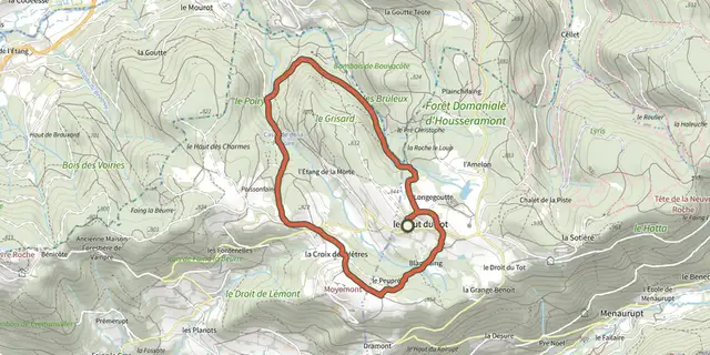 Plan IGN © IGN 2026 · tracé © OpenStreetMapCircuit du GrisardVosges, Sapois (88) · Boucle
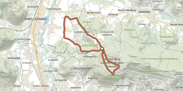 Plan IGN © IGN 2026 · tracé © OpenStreetMapCircuit du Haut BourbierVosges, Saint-Léonard (88) · Boucle
 Plan IGN © IGN 2026 · tracé © OpenStreetMapCircuit du Haut de BelfaysVosges, Ban-de-Sapt (88) · Traversée
 Plan IGN © IGN 2026 · tracé © OpenStreetMapCircuit du HeidenschlossVosges, Dabo (57) · Boucle
 Plan IGN © IGN 2026 · tracé © OpenStreetMapCircuit du HerrenwaldVosges, Geishouse (68) · Boucle
 Plan IGN © IGN 2026 · tracé © OpenStreetMapCircuit du HuhfelsVosges, Sewen (68) · Traversée
 Plan IGN © IGN 2026 · tracé © OpenStreetMapCircuit du HureVosges, Ban-de-Sapt (88) · Boucle
 Plan IGN © IGN 2026 · tracé © OpenStreetMapCircuit du HuserschlossVosges, Lautenbachzell (68) · Boucle
 Plan IGN © IGN 2026 · tracé © OpenStreetMapCircuit du jumelage Geishouse-SouvignyVosges, Geishouse (68) · Boucle
 Plan IGN © IGN 2026 · tracé © OpenStreetMapCircuit du KalblinVosges, Fréland (68) · Boucle
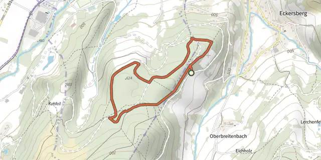 Plan IGN © IGN 2026 · tracé © OpenStreetMapCircuit du KraehenbergVosges, Breitenbach-Haut-Rhin (68) · Boucle
 Plan IGN © IGN 2026 · tracé © OpenStreetMapCircuit du lac NoirVosges, Orbey (68) · Boucle
 Plan IGN © IGN 2026 · tracé © OpenStreetMapCircuit du LampertsteinVosges, Saint-Quirin (57) · Boucle
 Plan IGN © IGN 2026 · tracé © OpenStreetMapCircuit du LautenbaechleinVosges, Jungholtz (68) · Traversée