
Traces GPX en Provence-Alpes-Côte d'Azur (page 24)
1 146 traces GPX en Provence-Alpes-Côte d'Azur, avec distance, dénivelé et durée pour chaque trace. Filtrez par département, sport, distance, dénivelé et durée.
Toutes les traces GPX en Provence-Alpes-Côte d'Azur


 Plan IGN © IGN 2026Le col de la Vallée EtroiteProvence-Alpes-Côte d'Azur, Névache (05) · Aller-retourCotation officielle selon Parc national des Écrins
 Plan IGN © IGN 2026Le col de LaurichardÉcrins, Villar-d'Arêne (05) · Aller-retourCotation officielle selon Parc national des Écrins
 Plan IGN © IGN 2026 · tracé © OpenStreetMapLe Col de Martignare et la Crête de la BuffeÉcrins, La Grave (05) · Boucle
 Plan IGN © IGN 2026Le col de VallonpierreÉcrins, La Chapelle-en-Valgaudémar (05) · Aller-retourCotation officielle selon Parc national des Écrins
 Plan IGN © IGN 2026Le Col des AyesProvence-Alpes-Côte d'Azur, Villar-Saint-Pancrace (05) · Aller-retourCotation officielle selon Parc national des Écrins
 Plan IGN © IGN 2026Le col des PeygusProvence-Alpes-Côte d'Azur, Cervières (05) · Aller-retourCotation officielle selon Parc national des Écrins
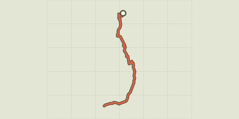 Plan IGN © IGN 2026Le col des Terres Blanches depuis DormillouseÉcrins, Freissinières (05) · Aller-retourCotation officielle selon Parc national des Écrins
 Plan IGN © IGN 2026Le col des Terres Blanches depuis PrapicÉcrins, Orcières (05) · Aller-retourCotation officielle selon Parc national des Écrins
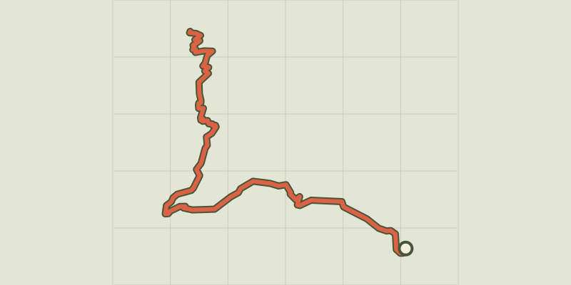 Plan IGN © IGN 2026Le col des TourettesÉcrins, Châteauroux-les-Alpes (05) · Aller-retourCotation officielle selon Parc national des Écrins
 Plan IGN © IGN 2026Le Col du ChardonnetProvence-Alpes-Côte d'Azur, Névache (05) · Aller-retourCotation officielle selon Parc national des Écrins
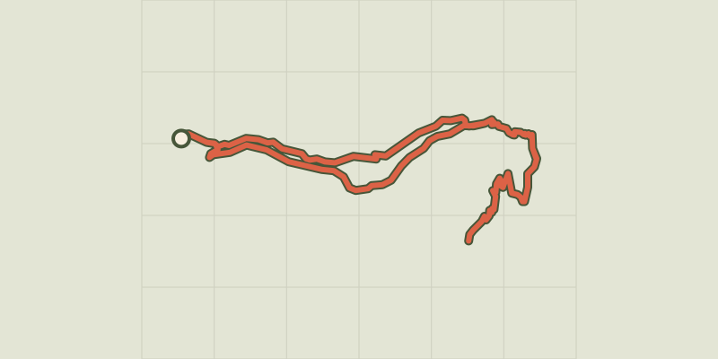 Plan IGN © IGN 2026Le col du cheval de boisÉcrins, Champoléon (05) · BoucleCotation officielle selon Parc national des Écrins
 Plan IGN © IGN 2026Le col du Granon par les TronchetsProvence-Alpes-Côte d'Azur, Saint-Chaffrey (05) · BoucleCotation officielle selon Parc national des Écrins
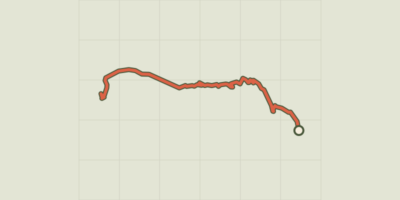 Plan IGN © IGN 2026Le col du Granon par Val-des-PrésProvence-Alpes-Côte d'Azur, Val-des-Prés (05) · Aller-retourCotation officielle selon Parc national des Écrins

 Plan IGN © IGN 2026Le col LebrautProvence-Alpes-Côte d'Azur, Chorges (05) · BoucleCotation officielle selon Parc national des Écrins
 Plan IGN © IGN 2026Le CuchonÉcrins, Saint-Léger-les-Mélèzes (05) · Aller-retourCotation officielle selon Parc national des Écrins
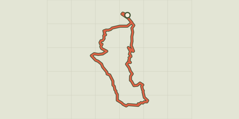
 Plan IGN © IGN 2026Le FeinProvence-Alpes-Côte d'Azur, Chorges (05) · BoucleCotation officielle selon Parc national des Écrins
 Plan IGN © IGN 2026Le FortÉcrins, Réallon (05) · BoucleCotation officielle selon Parc national des Écrins

 Plan IGN © IGN 2026Le fort de l'InfernetProvence-Alpes-Côte d'Azur, Briançon (05) · BoucleCotation officielle selon Parc national des Écrins
 Plan IGN © IGN 2026 · tracé © OpenStreetMapLe fort de NiolonProvence-Alpes-Côte d'Azur, Le Rove (13) · Boucle
 Plan IGN © IGN 2026Le fort des Salettes depuis La VachetteProvence-Alpes-Côte d'Azur, Val-des-Prés (05) · Aller-retourCotation officielle selon Parc national des Écrins
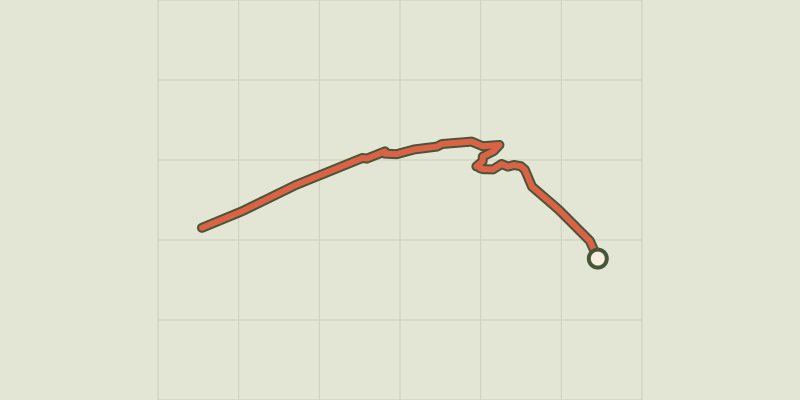 Plan IGN © IGN 2026Le glacier NoirÉcrins, Vallouise-Pelvoux (05) · Aller-retourCotation officielle selon Parc national des Écrins
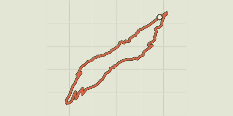 Plan IGN © IGN 2026Le Grand Bois des BansProvence-Alpes-Côte d'Azur, Villar-Saint-Pancrace (05) · BoucleCotation officielle selon Parc national des Écrins
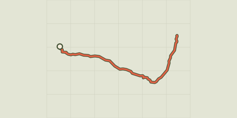 Plan IGN © IGN 2026Le Grand Glaiza - Punta MerciantairaProvence-Alpes-Côte d'Azur, Cervières (05) · Aller-retourCotation officielle selon Parc national des Écrins
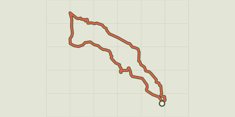 Plan IGN © IGN 2026Le hameau de VaucluseÉcrins, Réallon (05) · BoucleCotation officielle selon Parc national des Écrins