
Traces GPX en France (page 240)
7 023 traces GPX en France, avec distance, dénivelé et durée pour chaque trace. Choisissez une région sur la carte, puis filtrez par département, sport, distance, dénivelé et durée.
Toutes les traces GPX en France
Discipline : Toutes les disciplines
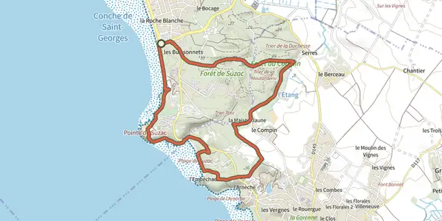
 Plan IGN © IGN 2026Pr9 - La pointe de SuzacNouvelle-Aquitaine, Saint-Georges-de-Didonne (17) · Boucle
 Plan IGN © IGN 2026PradinesCévennes, Lanuéjols (30) · BoucleCotation officielle selon Parc national des Cévennes
 Plan IGN © IGN 2026 · tracé © OpenStreetMapPrayssas / QuittimontNouvelle-Aquitaine, Lacépède (47) · Boucle

 Plan IGN © IGN 2026Pré closÉcrins, Embrun (05) · BoucleCotation officielle selon Parc national des Écrins
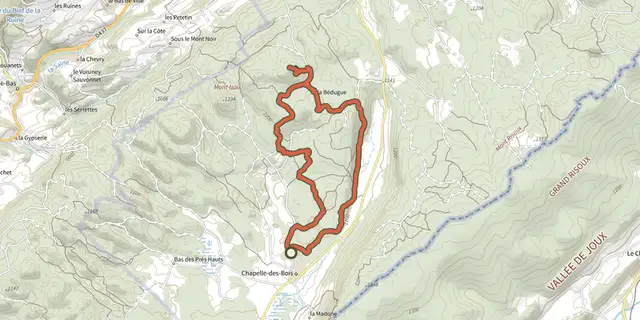 Plan IGN © IGN 2026Pré d'Haut - N°25Haut-Jura, Chapelle-des-Bois (25) · BoucleCotation officielle selon Département du Doubs

 Plan IGN © IGN 2026Pré d'Haut - N°34Haut-Jura, Chapelle-des-Bois (25) · BoucleCotation officielle selon Département du Doubs
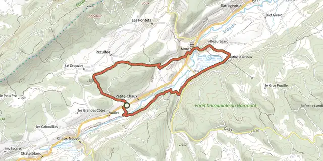 Plan IGN © IGN 2026Pré Lorrain- N° 58Haut-Jura, Petite-Chaux (25) · BoucleCotation officielle selon Département du Doubs
 Plan IGN © IGN 2026Prés-bois des Bâties VTT n° 103Haut-Jura, Mouthe (25) · BoucleCotation officielle selon Département du Doubs
 Plan IGN © IGN 2026Promenade à charrouxPérigord, Saint-Aquilin (24) · Boucle
 Plan IGN © IGN 2026Promenade à LénaultNormandie, Condé-en-Normandie (14) · Boucle
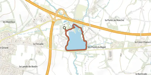 Plan IGN © IGN 2026Promenade accessible - Parc AquarevBretagne, Loudéac (22) · BoucleCotation officielle selon Département des Côtes d'Armor
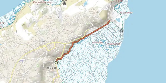 Plan IGN © IGN 2026Promenade accessible - Promenade du Soleil levantBretagne, Saint-Cast-le-Guildo (22) · Aller-retourCotation officielle selon Département des Côtes d'Armor
 Plan IGN © IGN 2026Promenade au coeur du bourgPérigord, Salignac-Eyvigues (24) · Boucle
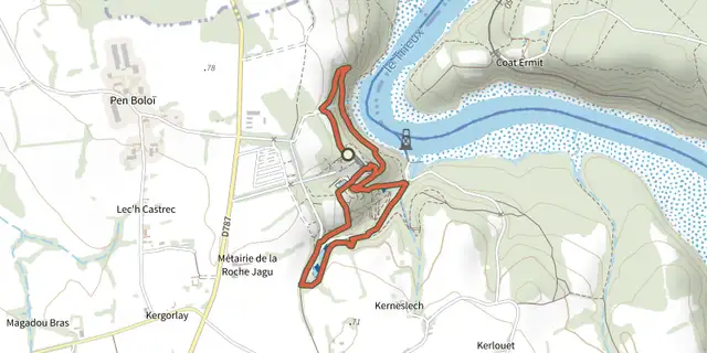 Plan IGN © IGN 2026Promenade au jardin de la Roche JaguBretagne, Ploëzal (22) · TraverséeCotation officielle selon Département des Côtes d'Armor
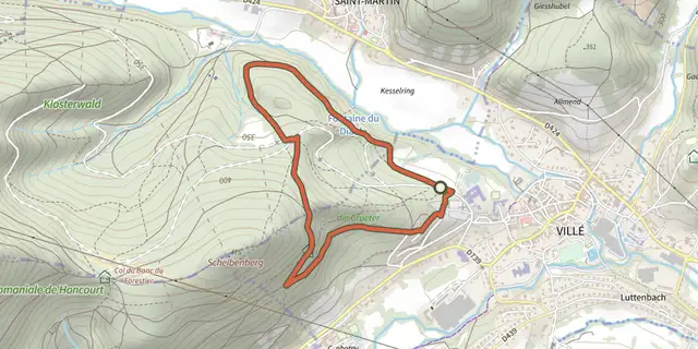 Plan IGN © IGN 2026 · tracé © OpenStreetMapPromenade ciculaire du KiosqueVosges, Villé (67) · Boucle
 Plan IGN © IGN 2026 · tracé © OpenStreetMapPromenade circulaire - OttrottGrand Est, Ottrott (67) · Boucle
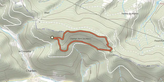 Plan IGN © IGN 2026 · tracé © OpenStreetMapPromenade circulaire de la HonelVosges, Lalaye (67) · Boucle
 Plan IGN © IGN 2026 · tracé © OpenStreetMapPromenade Circulaire des CalvairesVosges, Mortagne (88) · Boucle
 Plan IGN © IGN 2026 · tracé © OpenStreetMapPromenade circulaire des EcoliersVosges, Gueberschwihr (68) · Boucle
 Plan IGN © IGN 2026 · tracé © OpenStreetMapPromenade circulaire du CoucouGrand Est, Neubois (67) · Boucle
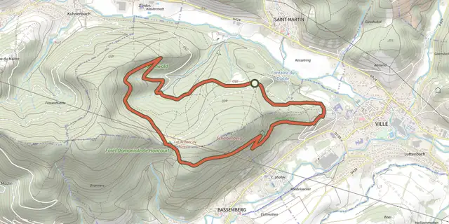 Plan IGN © IGN 2026 · tracé © OpenStreetMapPromenade circulaire en Forêt de HoncourtVosges, Saint-Martin (67) · Boucle
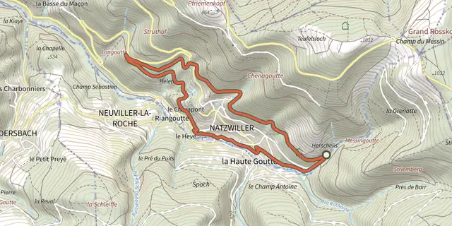 Plan IGN © IGN 2026 · tracé © OpenStreetMapPromenade Circulaire, Avec Sentier BotaniqueVosges, Natzwiller (67) · Boucle
 Plan IGN © IGN 2026 · tracé © OpenStreetMapPromenade de l'ErosionÎle-de-France, Fontainebleau (77) · Boucle
 Plan IGN © IGN 2026 · tracé © OpenStreetMapPromenade de la Gorge aux ArchersÎle-de-France, Fontainebleau (77) · Boucle