
Traces GPX de randonnée en Normandie (page 5)
191 traces GPX en Normandie, avec distance, dénivelé et durée pour chaque trace. Filtrez par département, sport, distance, dénivelé et durée.
Toutes les traces GPX en Normandie


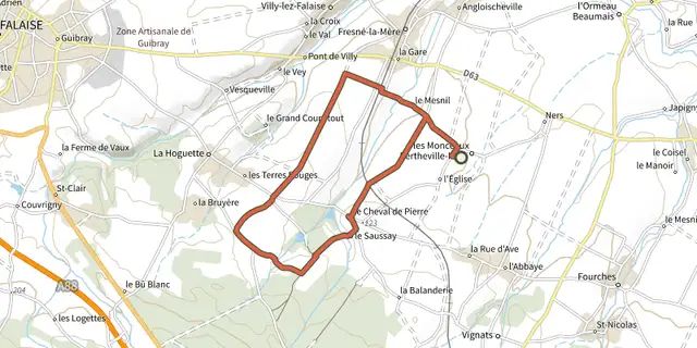
 Plan IGN © IGN 2026Le Cheval de PierreNormandie, Pertheville-Ners (14) · Boucle
 Plan IGN © IGN 2026Le circuit de BoiseNormandie, Noues de Sienne (14) · Boucle
 Plan IGN © IGN 2026Le circuit de l'OrgueilNormandie, Malherbe-sur-Ajon (14) · Boucle
 Plan IGN © IGN 2026Le circuit des lavoirsNormandie, Souleuvre en Bocage (14) · Boucle
 Plan IGN © IGN 2026Le circuit des LogettesNormandie, Valdallière (14) · Boucle
 Plan IGN © IGN 2026Le circuit du Cheval de PierreNormandie, Morteaux-Coulibœuf (14) · Boucle
 Plan IGN © IGN 2026Le Coteau du Mesnil SoleilNormandie, Damblainville (14) · Boucle
 Plan IGN © IGN 2026Le Coupe GorgeNormandie, Mutrécy (14) · Boucle
 Plan IGN © IGN 2026Le débarquementNormandie, Varaville (14) · Boucle
 Plan IGN © IGN 2026Le gros hêtreNormandie, Culey-le-Patry (14) · Boucle
 Plan IGN © IGN 2026Le lac de la DathéeNormandie, Noues de Sienne (14) · Boucle
 Plan IGN © IGN 2026Le lac du GastNormandie, Noues de Sienne (14) · Boucle
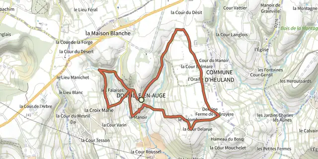 Plan IGN © IGN 2026Le lavoirNormandie, Douville-en-Auge (14) · Boucle
 Plan IGN © IGN 2026Le LavoirNormandie, Épaney (14) · Boucle
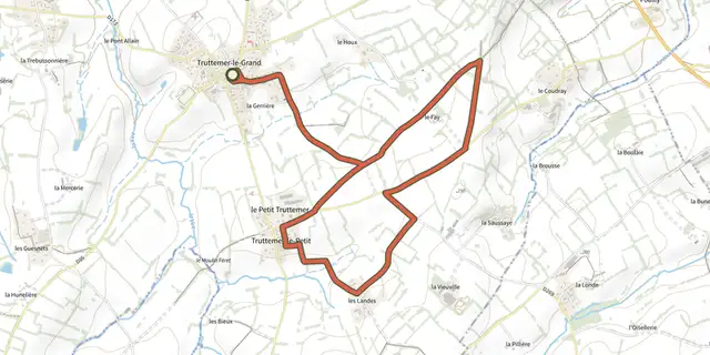 Plan IGN © IGN 2026Le marais de TruttemerNormandie, Vire Normandie (14) · Boucle
 Plan IGN © IGN 2026 · tracé © OpenStreetMapLe Mesnil-sous-JumiègesNormandie, Le Mesnil-sous-Jumièges (76) · Boucle
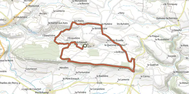 Plan IGN © IGN 2026Le mont chauveNormandie, Souleuvre en Bocage (14) · Boucle
 Plan IGN © IGN 2026Le Mont PinçonNormandie, Les Monts d'Aunay (14) · Traversée
 Plan IGN © IGN 2026Le Mont PinçonNormandie, Les Monts d'Aunay (14) · Boucle
 Plan IGN © IGN 2026Le Moulin à papierNormandie, Le Bô (14) · Boucle
 Plan IGN © IGN 2026Le Moulin du FayNormandie, Cauville (14) · Boucle
 Plan IGN © IGN 2026Le panorama des HoullesNormandie, Vire Normandie (14) · Boucle
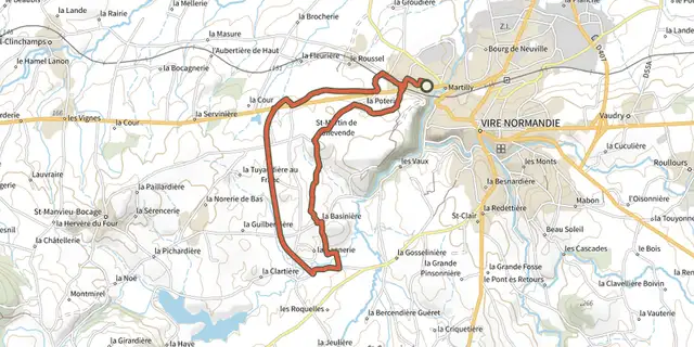 Plan IGN © IGN 2026Le petit TallevendaisNormandie, Vire Normandie (14) · Boucle
 Plan IGN © IGN 2026Le plateau de Claire-FontaineNormandie, Longvillers (14) · Boucle