
Traces GPX de VTT en Grand Est (page 5)
155 traces GPX en Grand Est, avec distance, dénivelé et durée pour chaque trace. Filtrez par département, sport, distance, dénivelé et durée.
Toutes les traces GPX en Grand Est


 Plan IGN © IGN 2026 · tracé © OpenStreetMapLe Rush des MessiresVosges, Herpelmont (88) · Boucle
 Plan IGN © IGN 2026 · tracé © OpenStreetMapLe SautéVosges, Bussang (88) · Boucle
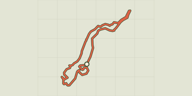 Plan IGN © IGN 2026 · tracé © OpenStreetMapLe SlecardVosges, Saint-Nabord (88) · Boucle
 Plan IGN © IGN 2026 · tracé © OpenStreetMapLe SlecardVosges, Saint-Nabord (88) · Boucle
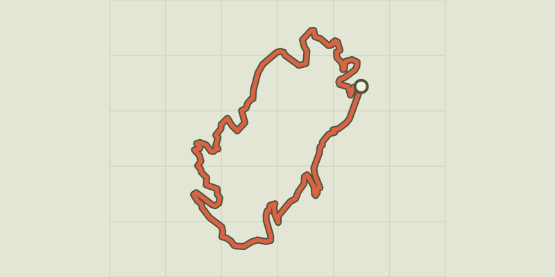 Plan IGN © IGN 2026 · tracé © OpenStreetMapLe SlecardVosges, Saint-Nabord (88) · Boucle
 Plan IGN © IGN 2026 · tracé © OpenStreetMapLe SlecardVosges, Saint-Nabord (88) · Boucle
 Plan IGN © IGN 2026 · tracé © OpenStreetMapLe Tertre de la Fille MorteVosges, Aubure (68) · Boucle
 Plan IGN © IGN 2026 · tracé © OpenStreetMapLe tour des BleuetsVosges, Saint-Maurice-sur-Moselle (88) · Boucle
 Plan IGN © IGN 2026 · tracé © OpenStreetMapLe tour du BrézouardVosges, Sainte-Marie-aux-Mines (68) · Boucle
 Plan IGN © IGN 2026 · tracé © OpenStreetMapLe Tour du Grand JeanVosges, La Bresse (88) · Boucle
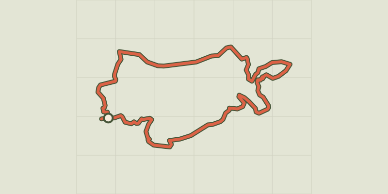 Plan IGN © IGN 2026 · tracé © OpenStreetMapLe Tour du MetteyVosges, Vagney (88) · Boucle
 Plan IGN © IGN 2026 · tracé © OpenStreetMapLe tour du TaennchelVosges, Rodern (68) · Boucle
 Plan IGN © IGN 2026 · tracé © OpenStreetMapLe Tour du VillageVosges, Saint-Nabord (88) · Boucle
 Plan IGN © IGN 2026 · tracé © OpenStreetMapLe VallonVosges, Fresse-sur-Moselle (88) · Boucle
 Plan IGN © IGN 2026 · tracé © OpenStreetMapLes BagenellesVosges, Le Bonhomme (68) · Boucle
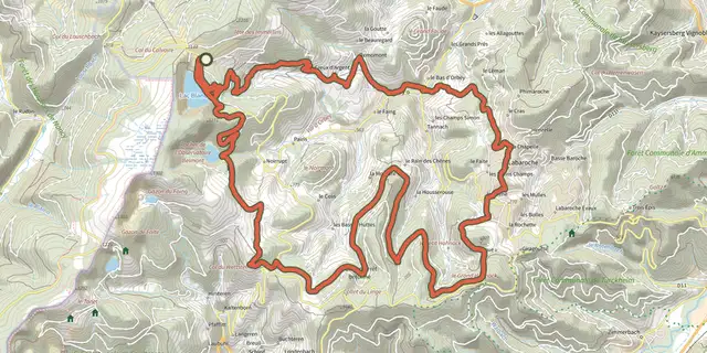 Plan IGN © IGN 2026 · tracé © OpenStreetMapLes balcons d'OrbeyVosges, Orbey (68) · Boucle
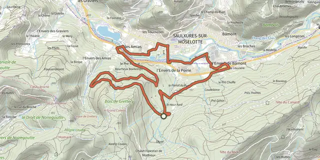 Plan IGN © IGN 2026 · tracé © OpenStreetMapLes BouchersVosges, Saulxures-sur-Moselotte (88) · Boucle
 Plan IGN © IGN 2026 · tracé © OpenStreetMapLes CaillouxVosges, Le Tholy (88) · Boucle
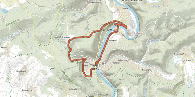 Plan IGN © IGN 2026 · tracé © OpenStreetMapLes Grands DucsGrand Est, Nouzonville (08) · Boucle
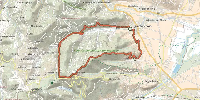 Plan IGN © IGN 2026 · tracé © OpenStreetMapLes hauteurs d'AmmerschwihrVosges, Ammerschwihr (68) · Boucle
 Plan IGN © IGN 2026 · tracé © OpenStreetMapLes hauteurs de KatzenthalVosges, Katzenthal (68) · Boucle
 Plan IGN © IGN 2026 · tracé © OpenStreetMapLes MarquisadesGrand Est, Les Mazures (08) · Boucle
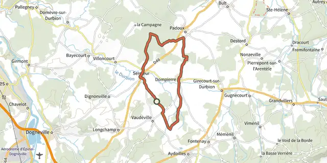 Plan IGN © IGN 2026 · tracé © OpenStreetMapLes MattouxGrand Est, Sercœur (88) · Boucle
 Plan IGN © IGN 2026 · tracé © OpenStreetMapLes MérellesVosges, Orbey (68) · Boucle