
Traces GPX de randonnée en Grand Est (page 26)
613 traces GPX en Grand Est, avec distance, dénivelé et durée pour chaque trace. Filtrez par département, sport, distance, dénivelé et durée.
Toutes les traces GPX en Grand Est


 Plan IGN © IGN 2026 · tracé © OpenStreetMapTour du MeerbaechleVosges, Saint-Amarin (68) · Boucle
 Plan IGN © IGN 2026 · tracé © OpenStreetMapTour du Petit BallonVosges, Luttenbach-près-Munster (68) · Boucle
 Plan IGN © IGN 2026 · tracé © OpenStreetMapTour du Vallon de MalmerspachVosges, Malmerspach (68) · Boucle
 Plan IGN © IGN 2026 · tracé © OpenStreetMapTour du ValtinVosges, Le Valtin (88) · Boucle
 Plan IGN © IGN 2026 · tracé © OpenStreetMapVignoble et ChâteauxVosges, Eguisheim (68) · Boucle
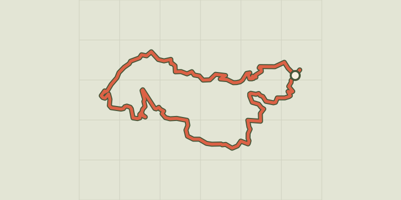 Plan IGN © IGN 2026 · tracé © OpenStreetMapVoyage aux Pays de ThannVosges, Thann (68) · Boucle
 Plan IGN © IGN 2026 · tracé © OpenStreetMapVoyage aux Pays de ThannVosges, Thann (68) · Boucle
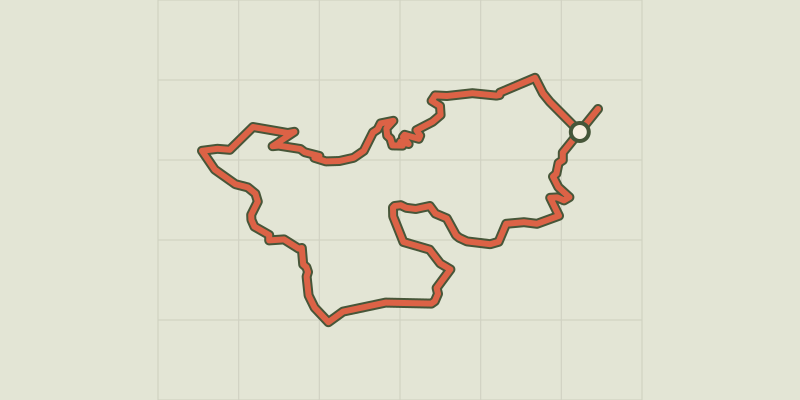 Plan IGN © IGN 2026 · tracé © OpenStreetMapVoyage aux Pays de ThannVosges, Thann (68) · Boucle
 Plan IGN © IGN 2026 · tracé © OpenStreetMapYellow crossVosges, Philippsbourg (57) · Traversée
 Plan IGN © IGN 2026 · tracé © OpenStreetMapYellow crossVosges, Sturzelbronn (57) · Traversée
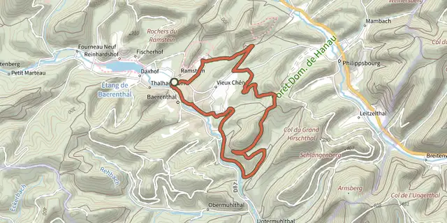 Plan IGN © IGN 2026 · tracé © OpenStreetMapYellow ringVosges, Baerenthal (57) · Boucle
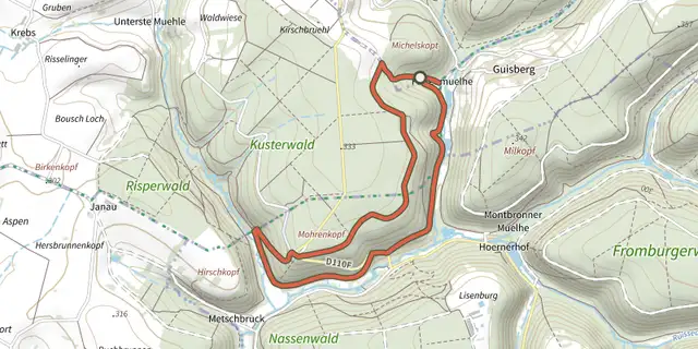 Plan IGN © IGN 2026 · tracé © OpenStreetMapYellow ringVosges, Rohrbach-lès-Bitche (57) · Boucle
 Plan IGN © IGN 2026 · tracé © OpenStreetMapYellow triangleVosges, Philippsbourg (57) · Traversée