
Traces GPX de randonnée en Grand Est (page 10)
537 traces GPX en Grand Est, avec distance, dénivelé et durée pour chaque trace. Filtrez par département, sport, distance, dénivelé et durée.
Toutes les traces GPX en Grand Est


 Plan IGN © IGN 2026 · tracé © OpenStreetMapCircuit du Nonnenbruch - RichwillerGrand Est, Richwiller (68) · Boucle
 Plan IGN © IGN 2026Circuit du patrimoine de LutterbachGrand Est, Lutterbach (68) · Boucle
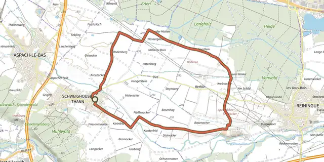 Plan IGN © IGN 2026 · tracé © OpenStreetMapCircuit du pélerinGrand Est, Schweighouse-Thann (68) · Boucle
 Plan IGN © IGN 2026 · tracé © OpenStreetMapCircuit du Petit HautVosges, Sainte-Marie-aux-Mines (68) · Boucle
 Plan IGN © IGN 2026Circuit du Quatelbach à Baldersheim et BattenheimGrand Est, Baldersheim (68) · Boucle
 Plan IGN © IGN 2026 · tracé © OpenStreetMapCircuit du RehbergVosges, Fréland (68) · Boucle
 Plan IGN © IGN 2026 · tracé © OpenStreetMapCircuit du RocherVosges, Dabo (57) · Boucle
 Plan IGN © IGN 2026 · tracé © OpenStreetMapCircuit du rocher de l’OsteinVosges, Willer-sur-Thur (68) · Boucle
 Plan IGN © IGN 2026 · tracé © OpenStreetMapCircuit du Roi de RomeVosges, Thann (68) · Boucle
 Plan IGN © IGN 2026 · tracé © OpenStreetMapCircuit du RossbergVosges, Fraize (88) · Boucle
 Plan IGN © IGN 2026 · tracé © OpenStreetMapCircuit du RosskopfVosges, Hohrod (68) · Boucle
 Plan IGN © IGN 2026 · tracé © OpenStreetMapCircuit du Saut des CuvesVosges, Xonrupt-Longemer (88) · Boucle
 Plan IGN © IGN 2026 · tracé © OpenStreetMapCircuit du SchlosskopfVosges, Dabo (57) · Boucle
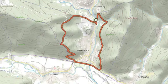 Plan IGN © IGN 2026 · tracé © OpenStreetMapCircuit du SenkelVosges, Oberbruck (68) · Boucle
 Plan IGN © IGN 2026 · tracé © OpenStreetMapCircuit du SolbergVosges, Munster (68) · Boucle
 Plan IGN © IGN 2026 · tracé © OpenStreetMapCircuit du SommetVosges, Geishouse (68) · Boucle
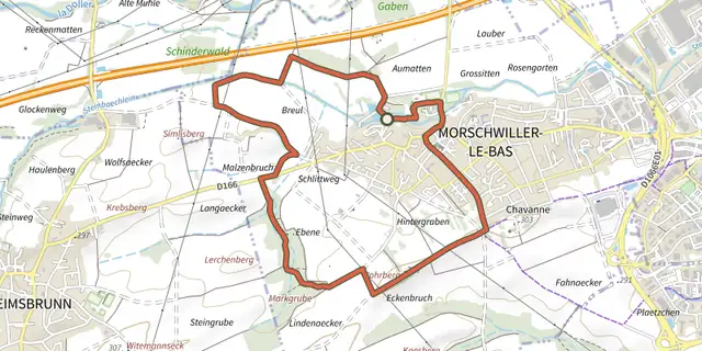 Plan IGN © IGN 2026 · tracé © OpenStreetMapCircuit du Steinbachlein Morschwiller-le-basGrand Est, Morschwiller-le-Bas (68) · Boucle
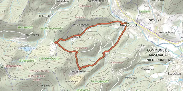 Plan IGN © IGN 2026 · tracé © OpenStreetMapCircuit du TriebelskopfVosges, Masevaux-Niederbruck (68) · Boucle
 Plan IGN © IGN 2026 · tracé © OpenStreetMapCircuit du tumulusVosges, Butten (67) · Boucle
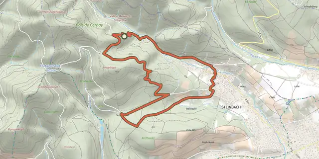 Plan IGN © IGN 2026 · tracé © OpenStreetMapCircuit du vallon de SteinbachVosges, Steinbach (68) · Boucle
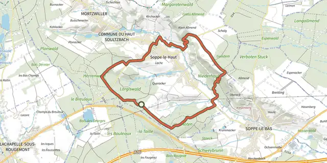 Plan IGN © IGN 2026 · tracé © OpenStreetMapCircuit du vallon du Soultzbach EstGrand Est, Le Haut Soultzbach (68) · Boucle
 Plan IGN © IGN 2026 · tracé © OpenStreetMapCircuit du vallon du Soultzbach OuestGrand Est, Le Haut Soultzbach (68) · Boucle
 Plan IGN © IGN 2026 · tracé © OpenStreetMapCircuit du VignobleVosges, Rosenwiller (67) · Boucle
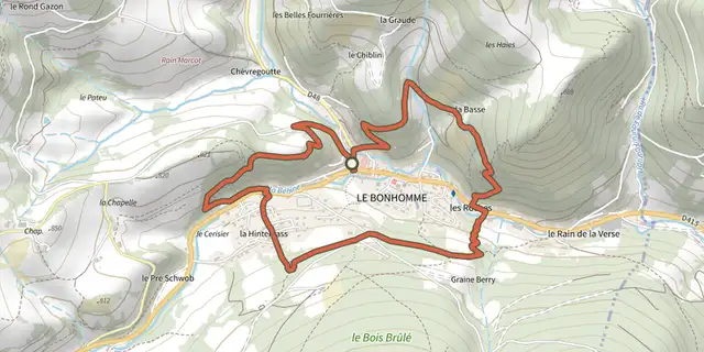 Plan IGN © IGN 2026 · tracé © OpenStreetMapCircuit du villageVosges, Le Bonhomme (68) · Boucle