
Traces GPX de randonnée dans les Écrins (page 4)
246 traces GPX dans les Écrins, avec distance, dénivelé et durée pour chaque trace. Filtrez par département, sport, distance, dénivelé et durée.
Toutes les traces GPX dans les Écrins


 Plan IGN © IGN 2026La roche du TouretÉcrins, Chantepérier (38) · Aller-retourCotation officielle selon Parc national des Écrins
 Plan IGN © IGN 2026La tête d'OréacÉcrins, Les Vigneaux (05) · BoucleCotation officielle selon Parc national des Écrins
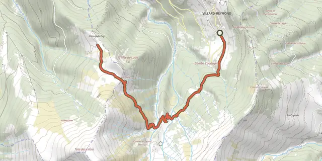 Plan IGN © IGN 2026La Tête de Louis XVI par le col de CorbièreÉcrins, Villard-Reymond (38) · Aller-retourCotation officielle selon Parc national des Écrins
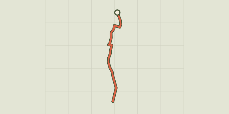 Plan IGN © IGN 2026La voie verte de L’Argentière-la-BesséeÉcrins, L'Argentière-la-Bessée (05) · Aller-retourCotation officielle selon Parc national des Écrins
 Plan IGN © IGN 2026La zone humide du LiouÉcrins, Baratier (05) · Aller-retourCotation officielle selon Parc national des Écrins
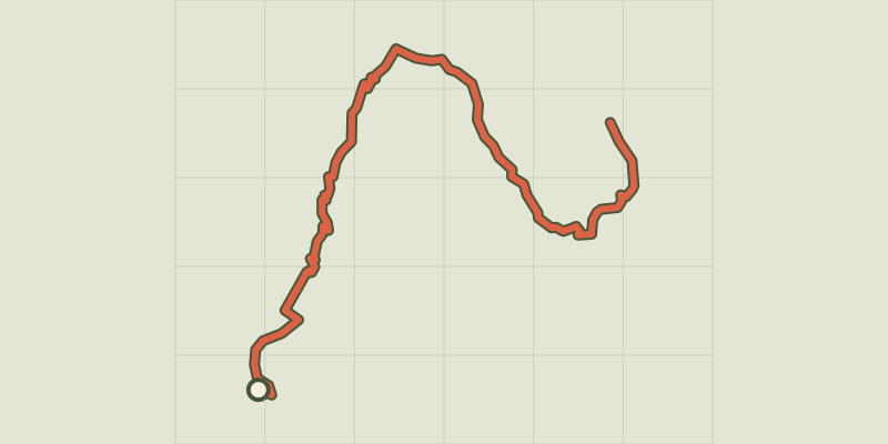 Plan IGN © IGN 2026Lac brunÉcrins, Réallon (05) · Aller-retourCotation officielle selon Parc national des Écrins
 Plan IGN © IGN 2026Lac de l'HivernetÉcrins, Embrun (05) · BoucleCotation officielle selon Parc national des Écrins
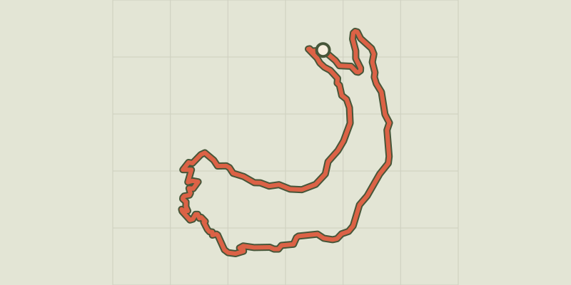 Plan IGN © IGN 2026Lac de Saint-ApollinaireÉcrins, Réallon (05) · BoucleCotation officielle selon Parc national des Écrins
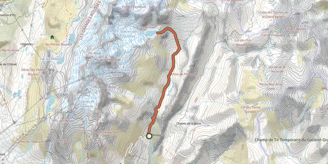 Plan IGN © IGN 2026Lac des QuirliesÉcrins, Clavans-en-Haut-Oisans (38) · Aller-retourCotation officielle selon Parc national des Écrins
 Plan IGN © IGN 2026Lac du Goléon depuis les HièresÉcrins, La Grave (05) · Aller-retourCotation officielle selon Parc national des Écrins
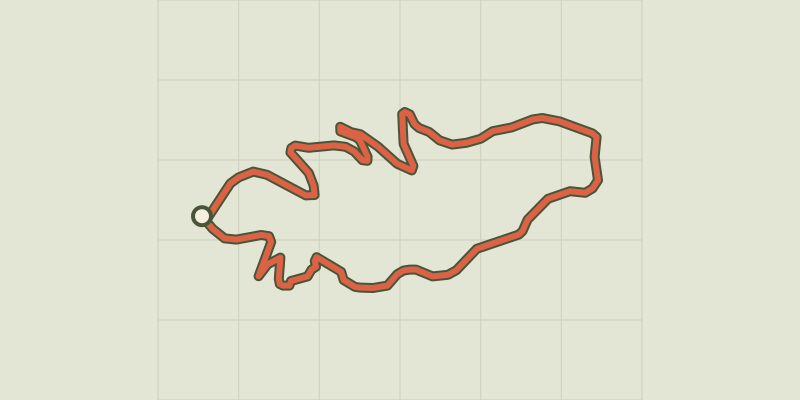 Plan IGN © IGN 2026Lac du LauzerotÉcrins, Crots (05) · BoucleCotation officielle selon Parc national des Écrins
 Plan IGN © IGN 2026Lac du PontetÉcrins, Villar-d'Arêne (05) · BoucleCotation officielle selon Parc national des Écrins
 Plan IGN © IGN 2026Lac LabarreÉcrins, Valjouffrey (38) · Aller-retourCotation officielle selon Parc national des Écrins
 Plan IGN © IGN 2026Lac Noir et lac Lérié depuis le ChazeletÉcrins, La Grave (05) · BoucleCotation officielle selon Parc national des Écrins
 Plan IGN © IGN 2026Le balcon du ChampsaurÉcrins, Saint-Michel-de-Chaillol (05) · BoucleCotation officielle selon Parc national des Écrins
 Plan IGN © IGN 2026Le Béal Neuf : du torrent au canalÉcrins, Vallouise-Pelvoux (05) · Aller-retourCotation officielle selon Parc national des Écrins
 Plan IGN © IGN 2026Le Béal Neuf : les canaux et les hommesÉcrins, Vallouise-Pelvoux (05) · Aller-retourCotation officielle selon Parc national des Écrins
 Plan IGN © IGN 2026Le Belvédère Chancel depuis 2400mÉcrins, La Grave (05) · Aller-retourCotation officielle selon Parc national des Écrins
 Plan IGN © IGN 2026Le belvédère de l'HommeÉcrins, Villar-d'Arêne (05) · Aller-retourCotation officielle selon Parc national des Écrins
 Plan IGN © IGN 2026Le belvédère des TêtesÉcrins, Les Vigneaux (05) · Aller-retourCotation officielle selon Parc national des Écrins
 Plan IGN © IGN 2026Le ChâtelleretÉcrins, Saint-Christophe-en-Oisans (38) · Aller-retourCotation officielle selon Parc national des Écrins
 Plan IGN © IGN 2026Le chemin du facteurÉcrins, La Grave (05) · Aller-retourCotation officielle selon Parc national des Écrins
 Plan IGN © IGN 2026Le circuit de Clot LaffontÉcrins, Champcella (05) · BoucleCotation officielle selon Parc national des Écrins
 Plan IGN © IGN 2026Le circuit des lacsÉcrins, Freissinières (05) · BoucleCotation officielle selon Parc national des Écrins