
Traces GPX de randonnée dans les Écrins (page 2)
246 traces GPX dans les Écrins, avec distance, dénivelé et durée pour chaque trace. Filtrez par département, sport, distance, dénivelé et durée.
Toutes les traces GPX dans les Écrins


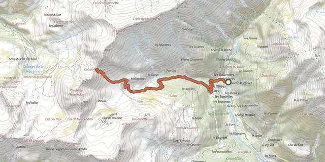
 Plan IGN © IGN 2026Col de la CoupaÉcrins, Réallon (05) · Aller-retourCotation officielle selon Parc national des Écrins
 Plan IGN © IGN 2026Col de la Règue par le vallon de ChargèsÉcrins, Réallon (05) · Aller-retourCotation officielle selon Parc national des Écrins
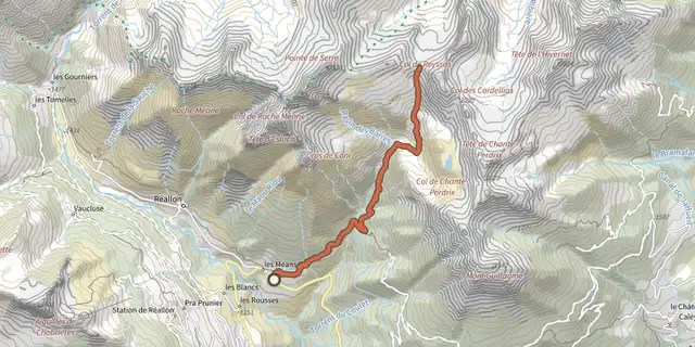 Plan IGN © IGN 2026Col de ReyssasÉcrins, Réallon (05) · Aller-retourCotation officielle selon Parc national des Écrins
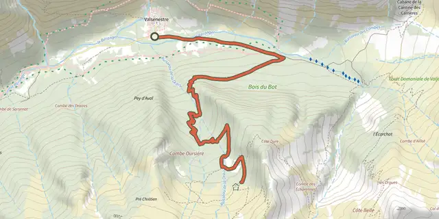 Plan IGN © IGN 2026Combe OursièreÉcrins, Valjouffrey (38) · Aller-retourCotation officielle selon Parc national des Écrins
 Plan IGN © IGN 2026Crête du LauzetÉcrins, Crots (05) · Aller-retourCotation officielle selon Parc national des Écrins
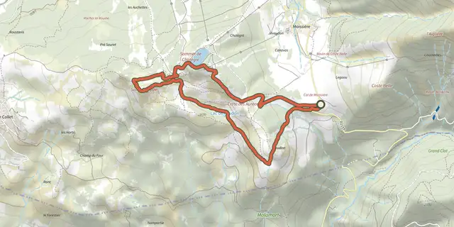 Plan IGN © IGN 2026Croix Saint-PhilippeÉcrins, Ancelle (05) · Aller-retourCotation officielle selon Parc national des Écrins
 Plan IGN © IGN 2026De Chabournéou à Vallonpierre par le sentier du MinistreÉcrins, La Chapelle-en-Valgaudémar (05) · BoucleCotation officielle selon Parc national des Écrins
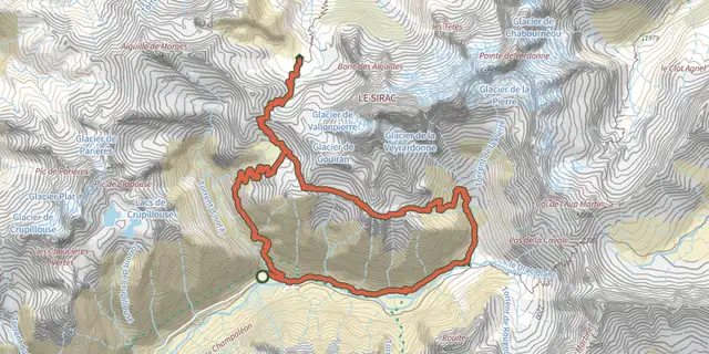 Plan IGN © IGN 2026De col en col jusqu'à VallonpierreÉcrins, Champoléon (05) · TraverséeCotation officielle selon Parc national des Écrins
 Plan IGN © IGN 2026De la Bérarde au refuge du Châtelleret (copy)Écrins, Saint-Christophe-en-Oisans (38) · TraverséeCotation officielle selon Parc national des Écrins
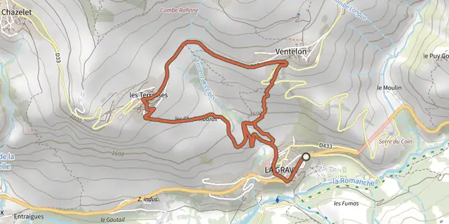 Plan IGN © IGN 2026De La Grave au hameau de VentelonÉcrins, La Grave (05) · BoucleCotation officielle selon Parc national des Écrins
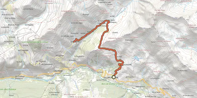 Plan IGN © IGN 2026De Villar d'Arène au hameau des HièresÉcrins, Villar-d'Arêne (05) · Aller-retourCotation officielle selon Parc national des Écrins
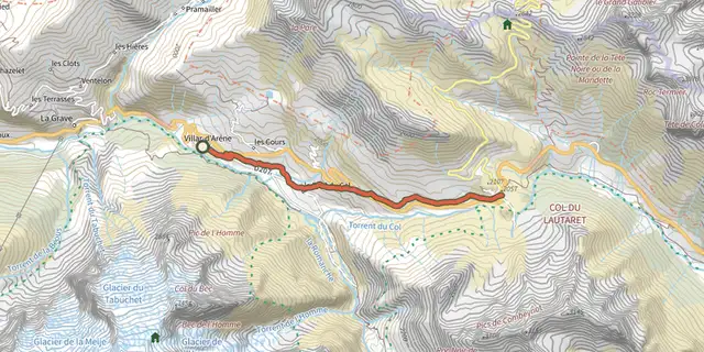 Plan IGN © IGN 2026De Villar d'Arène jusqu'au Col du LautaretÉcrins, Villar-d'Arêne (05) · Aller-retourCotation officielle selon Parc national des Écrins
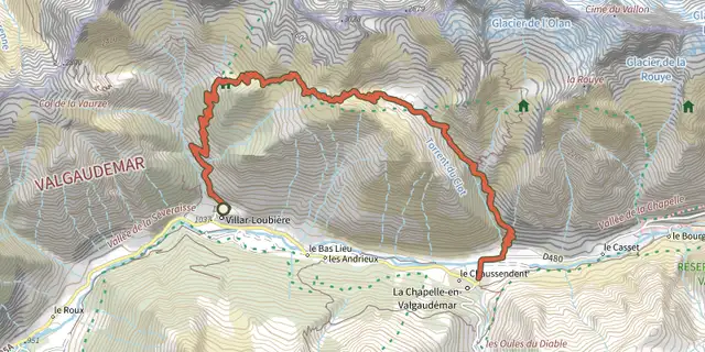 Plan IGN © IGN 2026De Villar-Loubière à La-Chapelle-en-ValgaudemarÉcrins, Villar-Loubière (05) · TraverséeCotation officielle selon Parc national des Écrins
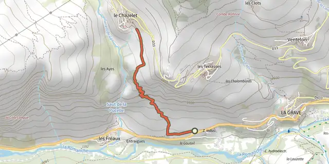 Plan IGN © IGN 2026Des Fréaux au ChazeletÉcrins, La Grave (05) · TraverséeCotation officielle selon Parc national des Écrins
 Plan IGN © IGN 2026Des Hières au hameau de ValfroideÉcrins, La Grave (05) · Aller-retourCotation officielle selon Parc national des Écrins
 Plan IGN © IGN 2026Du Casset au LauzetÉcrins, Le Monêtier-les-Bains (05) · Aller-retourCotation officielle selon Parc national des Écrins
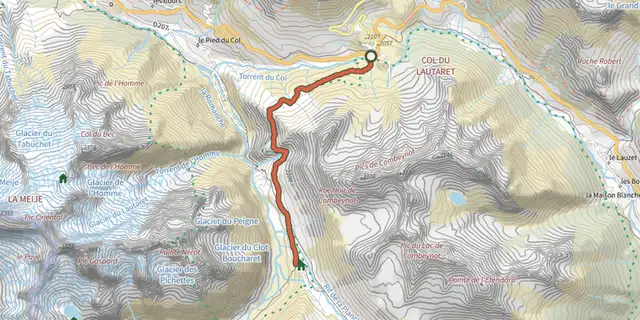 Plan IGN © IGN 2026Du Lautaret à l'Alpe de Villar d'Arène par le sentier des CrevassesÉcrins, Villar-d'Arêne (05) · Aller-retourCotation officielle selon Parc national des Écrins
 Plan IGN © IGN 2026Du refuge des Souffles au refuge de l'Olan (sans voiture)Écrins, Villar-Loubière (05) · TraverséeCotation officielle selon Parc national des Écrins
 Plan IGN © IGN 2026Du sommet Drouvet à PrapicÉcrins, Orcières (05) · TraverséeCotation officielle selon Parc national des Écrins
 Plan IGN © IGN 2026Du train au glacier Blanc en 3 jours (sans voiture)Écrins, L'Argentière-la-Bessée (05) · TraverséeCotation officielle selon Parc national des Écrins
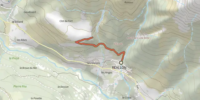 Plan IGN © IGN 2026Fort de RéallonÉcrins, Réallon (05) · Aller-retourCotation officielle selon Parc national des Écrins
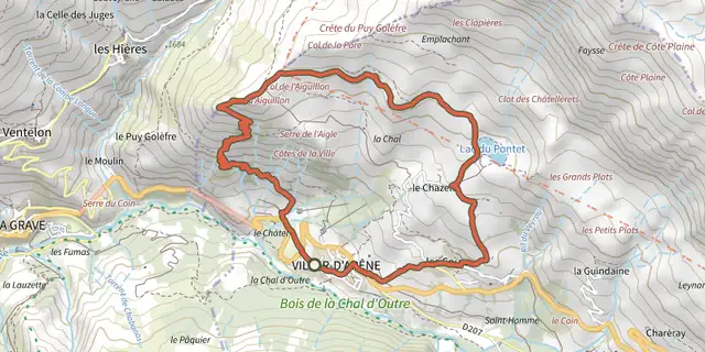 Plan IGN © IGN 2026Grande boucle de l'AiguillonÉcrins, Villar-d'Arêne (05) · BoucleCotation officielle selon Parc national des Écrins
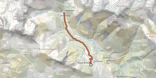 Plan IGN © IGN 2026Hameau des GourniersÉcrins, Réallon (05) · TraverséeCotation officielle selon Parc national des Écrins
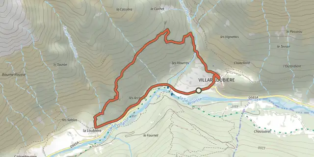 Plan IGN © IGN 2026Hameau des PeinesÉcrins, Villar-Loubière (05) · BoucleCotation officielle selon Parc national des Écrins