
Traces GPX dans les Écrins (page 12)
367 traces GPX dans les Écrins, avec distance, dénivelé et durée pour chaque trace. Filtrez par département, sport, distance, dénivelé et durée.
Toutes les traces GPX dans les Écrins

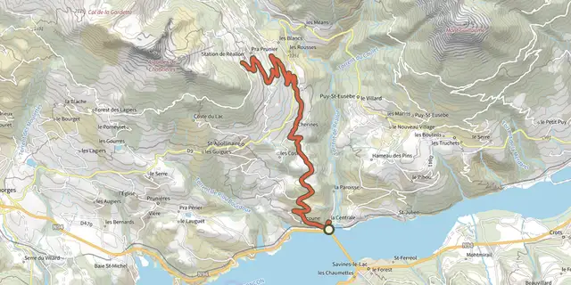
 Plan IGN © IGN 2026Montée de Réallon depuis Savines-le-LacÉcrins, Savines-le-Lac (05) · TraverséeCotation officielle selon Parc national des Écrins
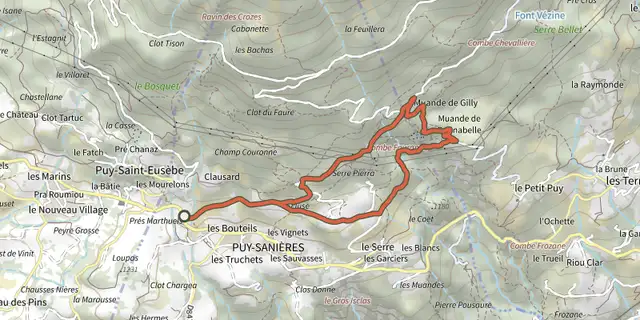
 Plan IGN © IGN 2026Muande de BonnabelleÉcrins, Puy-Sanières (05) · BoucleCotation officielle selon Parc national des Écrins
 Plan IGN © IGN 2026Petite boucle de Clos RaffinÉcrins, La Grave (05) · BoucleCotation officielle selon Parc national des Écrins
 Plan IGN © IGN 2026Pierre-ArnouxÉcrins, Savines-le-Lac (05) · BoucleCotation officielle selon Parc national des Écrins
 Plan IGN © IGN 2026Piste de JoubelleÉcrins, Réallon (05) · Aller-retourCotation officielle selon Parc national des Écrins

 Plan IGN © IGN 2026Pré closÉcrins, Embrun (05) · BoucleCotation officielle selon Parc national des Écrins
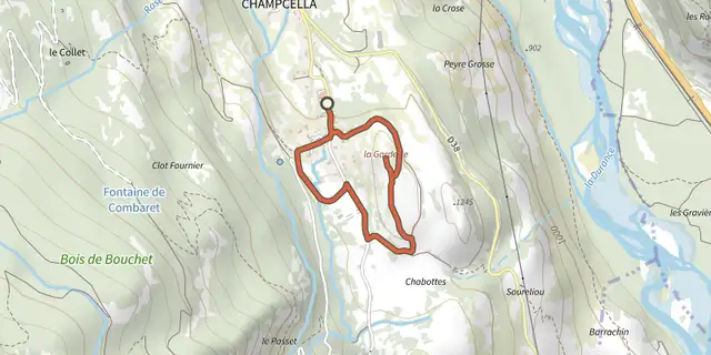 Plan IGN © IGN 2026RANDOLAND : ChampcellaÉcrins, Champcella (05) · BoucleCotation officielle selon Parc national des Écrins
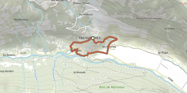 Plan IGN © IGN 2026RANDOLAND : FreissinièresÉcrins, Freissinières (05) · BoucleCotation officielle selon Parc national des Écrins
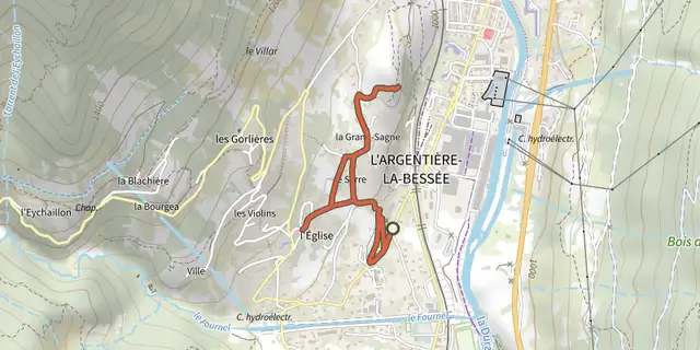 Plan IGN © IGN 2026RANDOLAND : L’Argentière-la-BesséeÉcrins, L'Argentière-la-Bessée (05) · BoucleCotation officielle selon Parc national des Écrins
 Plan IGN © IGN 2026RANDOLAND : Les VigneauxÉcrins, Les Vigneaux (05) · BoucleCotation officielle selon Parc national des Écrins
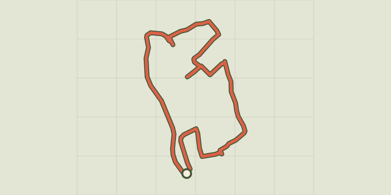 Plan IGN © IGN 2026RANDOLAND : PelvouxÉcrins, Vallouise-Pelvoux (05) · BoucleCotation officielle selon Parc national des Écrins
 Plan IGN © IGN 2026RANDOLAND : Puy Aillaud / Le VillardÉcrins, Vallouise-Pelvoux (05) · TraverséeCotation officielle selon Parc national des Écrins
 Plan IGN © IGN 2026Refuge de la Lavey, Vallon de la MuandeÉcrins, Saint-Christophe-en-Oisans (38) · BoucleCotation officielle selon Parc national des Écrins
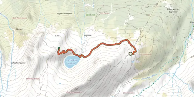 Plan IGN © IGN 2026Refuge Evariste Chancel et lac de Puy Vachier depuis 2400mÉcrins, La Grave (05) · Aller-retourCotation officielle selon Parc national des Écrins
 Plan IGN © IGN 2026Reotier - Tête de VautisseÉcrins, Réotier (05) · Aller-retourCotation officielle selon Parcs naturels régionaux de Provence-Alpes-Côte d'Azur
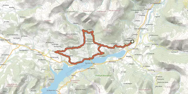 Plan IGN © IGN 2026Rive droite Serre-PonçonÉcrins, Embrun (05) · BoucleCotation officielle selon Parc national des Écrins
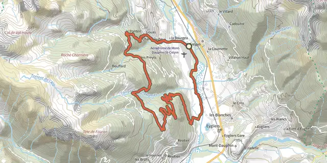
 Plan IGN © IGN 2026Saint-Crépin - L'Aubreau à VTTÉcrins, Saint-Crépin (05) · BoucleCotation officielle selon Parcs naturels régionaux de Provence-Alpes-Côte d'Azur
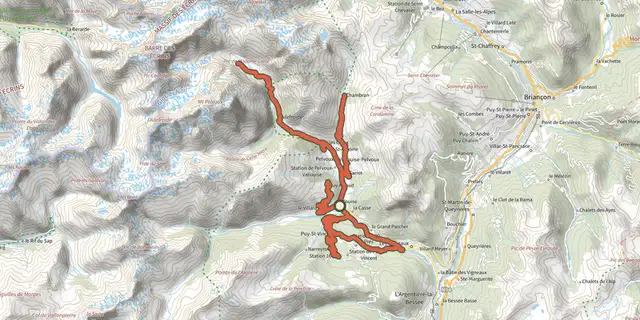 Plan IGN © IGN 2026Séjour en étoile - 3 jours de vélo en VallouiseÉcrins, Vallouise-Pelvoux (05) · BoucleCotation officielle selon Parc national des Écrins
 Plan IGN © IGN 2026Sentier de découverte des GourniersÉcrins, Réallon (05) · BoucleCotation officielle selon Parc national des Écrins
 Plan IGN © IGN 2026Sentier de découverte du bocageÉcrins, Aubessagne (05) · BoucleCotation officielle selon Parc national des Écrins
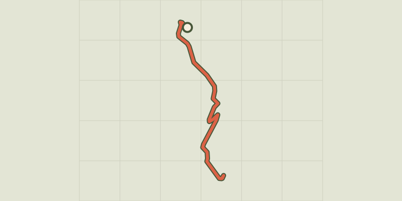 Plan IGN © IGN 2026Sentier de l'AbbayeÉcrins, Crots (05) · Aller-retourCotation officielle selon Parc national des Écrins
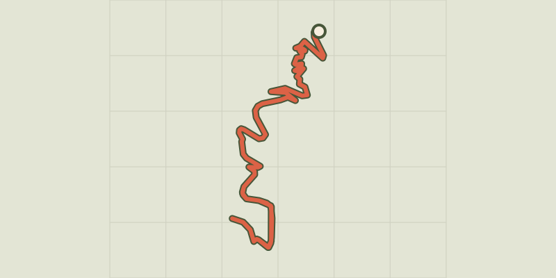 Plan IGN © IGN 2026Sentier des MoinesÉcrins, Crots (05) · Aller-retourCotation officielle selon Parc national des Écrins
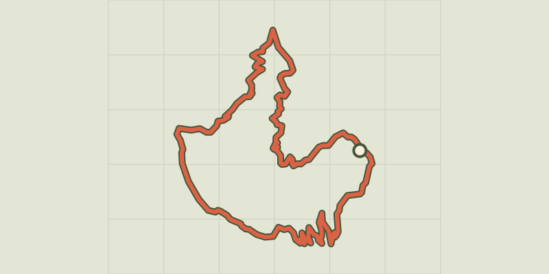 Plan IGN © IGN 2026Sentier des PyramidesÉcrins, Crots (05) · BoucleCotation officielle selon Parc national des Écrins
 Plan IGN © IGN 2026Sentier des VignesÉcrins, Châteauroux-les-Alpes (05) · BoucleCotation officielle selon Parc national des Écrins