
Traces GPX de randonnée en Corse (page 4)
193 traces GPX en Corse, avec distance, dénivelé et durée pour chaque trace. Filtrez par département, sport, distance, dénivelé et durée.
Toutes les traces GPX en Corse


 Plan IGN © IGN 2026 · tracé © OpenStreetMapBoucle de PruniccialeBalagne, Manso (2B) · Boucle
 Plan IGN © IGN 2026 · tracé © OpenStreetMapBoucle de Punta BiancaCorse, Belvédère-Campomoro (2A) · Boucle
 Plan IGN © IGN 2026 · tracé © OpenStreetMapBoucle de SalecciaBalagne, Monticello (2B) · Traversée
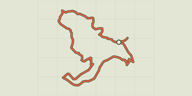 Plan IGN © IGN 2026 · tracé © OpenStreetMapBoucle de San BastianuBalagne, Occhiatana (2B) · Boucle
 Plan IGN © IGN 2026 · tracé © OpenStreetMapBoucle de San CiprianuBalagne, Pigna (2B) · Boucle
 Plan IGN © IGN 2026 · tracé © OpenStreetMapBoucle de San GhjuanniCorse, Solaro (2B) · Boucle
 Plan IGN © IGN 2026 · tracé © OpenStreetMapBoucle de Sant'AndriaBalagne, Feliceto (2B) · Traversée
 Plan IGN © IGN 2026 · tracé © OpenStreetMapBoucle de Sant'AntoneBalagne, Belgodère (2B) · Boucle
 Plan IGN © IGN 2026 · tracé © OpenStreetMapBoucle de TassileddiCorse, Carbini (2A) · Boucle
 Plan IGN © IGN 2026 · tracé © OpenStreetMapBoucle de VallicaBalagne, Vallica (2B) · Boucle
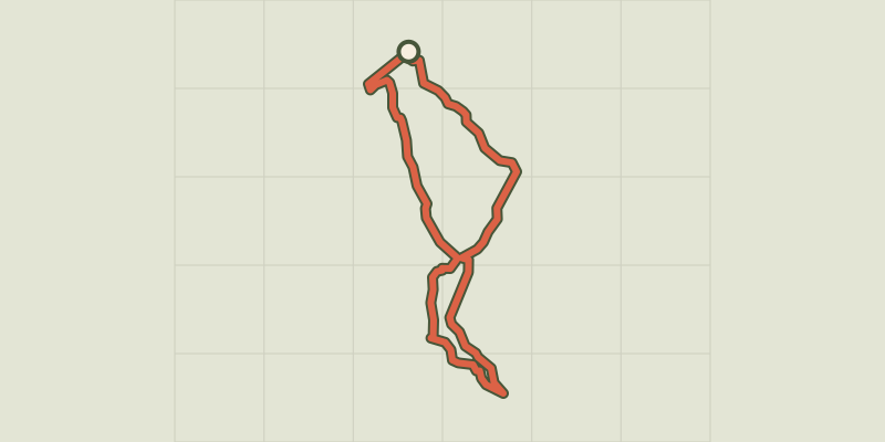 Plan IGN © IGN 2026 · tracé © OpenStreetMapBoucle des 7 FontainesCorse, Prunelli-di-Fiumorbo (2B) · Boucle
 Plan IGN © IGN 2026 · tracé © OpenStreetMapBoucle des PozziCorse, Belvédère-Campomoro (2A) · Boucle
 Plan IGN © IGN 2026 · tracé © OpenStreetMapBoucle du barrage de CodoleBalagne, Santa-Reparata-di-Balagna (2B) · Traversée
 Plan IGN © IGN 2026 · tracé © OpenStreetMapBoucle du CalatoghiuBalagne, Calenzana (2B) · Boucle
 Plan IGN © IGN 2026 · tracé © OpenStreetMapBoucle du massif côtier de la Punta di TilariuBalagne, Palasca (2B) · Traversée
 Plan IGN © IGN 2026 · tracé © OpenStreetMapBoucle du Massif Côtier du Lion de RoccapinaCorse, Sartène (2A) · Boucle
 Plan IGN © IGN 2026 · tracé © OpenStreetMapBoucle du Monte AragnascuCorse, Cuttoli-Corticchiato (2A) · Boucle
 Plan IGN © IGN 2026 · tracé © OpenStreetMapBoucle du Monte SantuCorse, Sari-Solenzara (2A) · Boucle
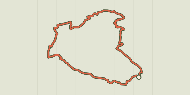 Plan IGN © IGN 2026 · tracé © OpenStreetMapBoucle du Monte StelloCap Corse, Brando (2B) · Boucle
 Plan IGN © IGN 2026 · tracé © OpenStreetMapBoucle Funtana Suprana - MonticelloBalagne, Monticello (2B) · Boucle
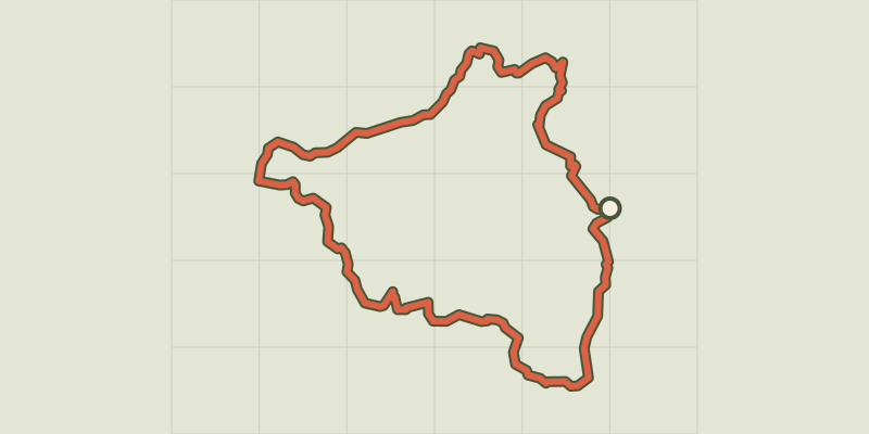 Plan IGN © IGN 2026 · tracé © OpenStreetMapBoucle I Quattri PaesiCorse, Quenza (2A) · Boucle
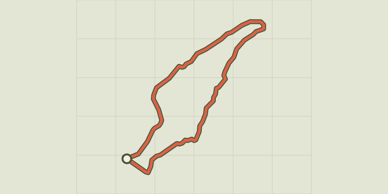 Plan IGN © IGN 2026 · tracé © OpenStreetMapBoucle Imiza-Bergerie de GolpaniCap Corse, Canari (2B) · Boucle
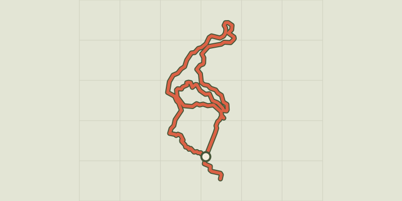 Plan IGN © IGN 2026 · tracé © OpenStreetMapBoucle intérieure Mare è StagnuCorse, Aléria (2B) · Boucle
 Plan IGN © IGN 2026 · tracé © OpenStreetMapBoucle littorale du Lotu à SalecciaCorse, Santo-Pietro-di-Tenda (2B) · Boucle